Makhbuta
المخبوطة | |
|---|---|
Village | |
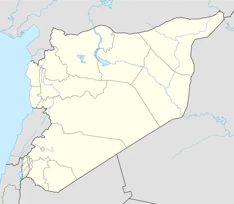 Makhbuta Location in Syria | |
| Coordinates: 34°57′56″N 37°31′41″E / 34.96556°N 37.52806°E | |
| Country | |
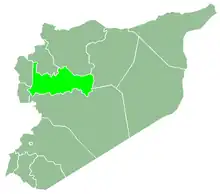
| Governorate | Hama |
| District | Salamiyah District |
| Subdistrict | Uqayribat Subdistrict |
| Population (2004) | |
| • Total | 220 |
| Time zone | UTC+2 (EET) |
| • Summer (DST) | UTC+3 (EEST) |
| City Qrya Pcode | C3312 |
Makhbuta (Arabic: المخبوطة) is a Syrian village located in Uqayribat Subdistrict in Salamiyah District, Hama. According to the Syria Central Bureau of Statistics (CBS), Makhbuta had a population of 220 in the 2004 census.[1]
References
- ↑ "General Census of Population 2004". Retrieved 2014-07-10.

This article is issued from Wikipedia. The text is licensed under Creative Commons - Attribution - Sharealike. Additional terms may apply for the media files.