Malanje Airport Malange Airport | |||||||||||
|---|---|---|---|---|---|---|---|---|---|---|---|
| Summary | |||||||||||
| Airport type | Public | ||||||||||
| Operator | Government | ||||||||||
| Location | Malanje, Angola | ||||||||||
| Elevation AMSL | 3,868 ft / 1,179 m | ||||||||||
| Coordinates | 9°31′30″S 16°18′45″E / 9.52500°S 16.31250°E | ||||||||||
| Map | |||||||||||
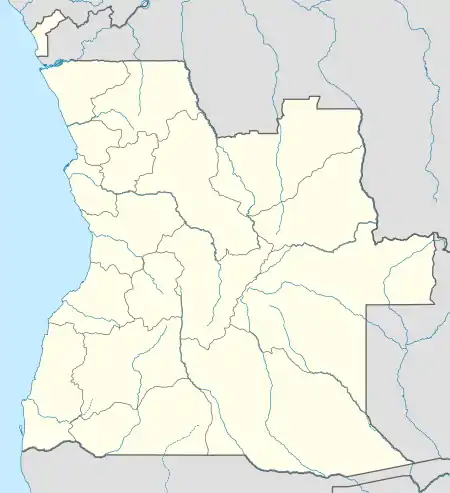 MEG Location of Airport in Angola | |||||||||||
| Runways | |||||||||||
| |||||||||||
Malanje Airport (IATA: MEG, ICAO: FNMA) is an airport serving Malanje, the capital of Malanje Province in Angola.
The Malange non-directional beacon (Ident: MA) is 5 kilometres (3.1 mi) east of the airport, and serves as a radio transmitter to crafts coming and going.[5]
See also
References
- ↑ "Airport information for FNMA]". World Aero Data. Archived from the original on 5 March 2019.
{{cite web}}: CS1 maint: unfit URL (link) Data current as of October 2006. - ↑ Airport information for MEG at Great Circle Mapper.
- ↑ "FNMA @ aerobaticsweb.org". Landings.com. Retrieved 31 July 2013.
- ↑ Google Maps - Malanje
- ↑ "SkyVector: Flight Planning / Aeronautical Charts". skyvector.com. Retrieved 27 July 2017.
External links
This article is issued from Wikipedia. The text is licensed under Creative Commons - Attribution - Sharealike. Additional terms may apply for the media files.