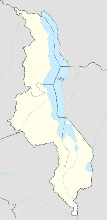
Malindi | |
|---|---|
 Malindi Location in Malawi | |
| Coordinates: 14°18′50″S 35°17′09″E / 14.31389°S 35.28583°E | |
| Country | |
| Region | Southern Region |
| District | Mangochi District |
| Elevation | 2,600 ft (800 m) |
| Time zone | +2 |
Malindi is a town in the Mangochi District, in the Southern Region of Malawi.[1]
Location
Malindi is located about 24 kilometres (15 mi), by road, north of Mangochi, where the district headquarters are located.[2] This is approximately 215 kilometres (134 mi), by road, north of Blantyre, the largest city in Malawi's Southern Region.[3] The geographical coordinates of Malindi, Malawi are 14°18'50.0"S, 35°17'09.0"E (Latitude:-14.313889; Longitude:35.285833).[4] Malindi is located at an average elevation of 800 metres (2,625 ft), above sea level.[5]
Overview
Malindi is an urban centre in a predominantly rural setting, situated on the south-eastern shores of Lake Malawi. The town is served by St Martins' Hospital, Malindi, a 100-bed mission hospital.[6] Also found in this town is the Malindi Mission School.[5][7]
References
- ↑ National Geospatial-Intelligence Agency (2012). "Geographical Names: Malindi, Malawi". Geographic.org. Retrieved 18 November 2018.
- ↑ Google (24 July 2022). "Distance Between Mangochi, Malawi and Malindi, Malawi" (Map). Google Maps. Google. Retrieved 24 July 2022.
- ↑ Google. "Distance Between Blantyre, Malawi and Malindi, Malawi" (Map). Google Maps. Google.
- ↑ Google (18 November 2018). "Location of Malindi, Malawi" (Map). Google Maps. Google. Retrieved 18 November 2018.
- 1 2 Get-a-Map (18 November 2018). "Elevation of Malindi Mission School, Malawi". Getamap.net. Retrieved 18 November 2018.
- ↑ Caroline Pendleton (2014). "About St Martins' Hospital, Malindi". London: Christian Medical Fellowship. Retrieved 18 November 2018.
- ↑ Mapcarta (18 November 2018). "Location of Malindi Mission School". Mapcarta.com. Retrieved 18 November 2018.
External links
- Malawi: UDF Candidate Wins Malindi Ward By-Election As of 11 April 2018.