Mananjara | |
|---|---|
 Mananjara Location in Madagascar | |
| Coordinates: 18°45′S 47°16′E / 18.750°S 47.267°E | |
| Country | |
| Region | Analamanga |
| District | Ambohidratrimo |
| Area | |
| • Total | 25 km2 (10 sq mi) |
| Elevation | 1,386 m (4,547 ft) |
| Population (2019)Census | |
| • Total | 4,117 |
| Time zone | UTC3 (EAT) |
| Postal code | 105 |
Mananjara is a rural municipality in Analamanga Region, in the Central Highlands of Madagascar. It has a population of 4,117 in 2019. It is located in the East of Mahitsy and the National road 4. It has been connected to electricity since 2019.[1]
References
Capital: Antananarivo | ||
| Ambohidratrimo (24) - 105 | 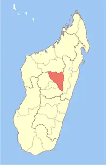 | |
| Andramasina (14) - 106 | ||
| Anjozorobe (18) - 107 | ||
| Ankazobe (15) - 108 | ||
| Antananarivo-Atsimondrano (26) - 102 |
| |
| Antananarivo-Avaradrano (16) - 103 | ||
| Antananarivo-Renivohitra (1) - 101 | ||
| Manjakandriana (23) - 116 | ||
8 districts; 137 communes | ||
This article is issued from Wikipedia. The text is licensed under Creative Commons - Attribution - Sharealike. Additional terms may apply for the media files.