Mangal Bari | |
|---|---|
Neighborhood in Malda City | |
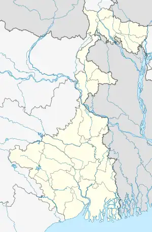
 Mangal Bari Location in West Bengal, India  Mangal Bari Mangal Bari (India)  Mangal Bari Mangal Bari (Asia) | |
| Coordinates: 25°01′08″N 88°09′00″E / 25.0188°N 88.1499°E | |
| Country | |
| State | West Bengal |
| District | Malda |
| Ward | 09, 10, 11, 12, 13, 14, 15, 17, 18 |
| Government | |
| • Type | Municipality |
| • Body | Old Malda |
| Area | |
| • Total | 6 km2 (2 sq mi) |
| Elevation | 17 m (56 ft) |
| Population (2011) | |
| • Total | 21,927 |
| • Density | 3,700/km2 (9,500/sq mi) |
| Languages | |
| • Official | Bengali[1][2] |
| • Additional official | English[1] |
| Time zone | UTC+5:30 (IST) |
| Vehicle registration | WB |
| Lok Sabha constituency | Maldaha Uttar |
| Vidhan Sabha constituency | Maldah |
| Website | malda |
Mangal Bari is a suburb of Old Malda in Malda district of West Bengal, India.[3] It is governed by the Old Malda Municipality.
Geography
Mangal Bari is situated on the eastern bank of the Mahananda River in Malda.
References
- 1 2 "Fact and Figures". www.wb.gov.in. Retrieved 17 January 2020.
- ↑ "52nd REPORT OF THE COMMISSIONER FOR LINGUISTIC MINORITIES IN INDIA" (PDF). nclm.nic.in. Ministry of Minority Affairs. p. 85. Archived from the original (PDF) on 25 May 2017. Retrieved 17 January 2020.
- ↑ "GP wise population of Malda District". www.malda.gov.in. Retrieved 17 January 2020.
This article is issued from Wikipedia. The text is licensed under Creative Commons - Attribution - Sharealike. Additional terms may apply for the media files.
