Manitoba Junction | |
|---|---|
 Manitoba Junction  Manitoba Junction | |
| Coordinates: 46°54′24″N 96°14′51″W / 46.90667°N 96.24750°W | |
| Country | United States |
| State | Minnesota |
| County | Clay |
| Elevation | 1,178 ft (359 m) |
| Time zone | UTC-6 (Central (CST)) |
| • Summer (DST) | UTC-5 (CDT) |
| Area code | 218 |
| GNIS feature ID | 654812[1] |
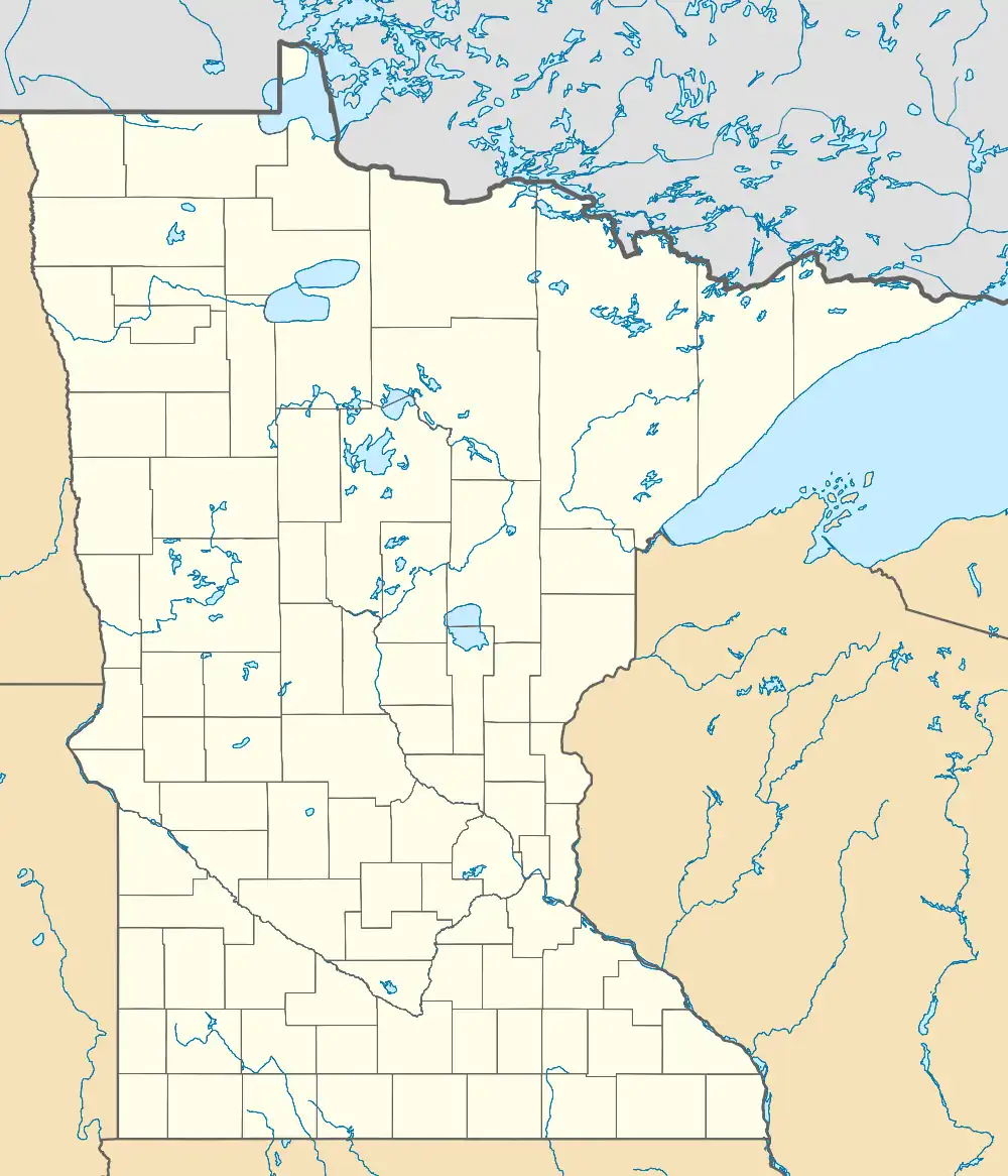
Manitoba Junction is an unincorporated community in Highland Grove Township, Clay County, Minnesota, United States.[1][2] It is named for a railroad junction of the Northern Pacific Railway, where a branch to Winnipeg joined the main line. These tracks are now owned by BNSF Railway.[3]
Notes
- 1 2 "Manitoba Junction, Minnesota". Geographic Names Information System. United States Geological Survey, United States Department of the Interior.
- ↑ Minnesota Department of Transportation-Highland Grove Township
- ↑ "Northern Pacific Railway". Official Guide of the Railways. New York City: National Railway Publishing Company. June 1941. p. 1058.
External links
- Upham, Warren, "Manitoba Junction, Minnesota Place Names, p. 122.
| Preceding station | Northern Pacific Railway | Following station | ||
|---|---|---|---|---|
| Hawley | Main Line | Dale toward St. Paul | ||
| Hitterdal toward Winnipeg |
Winnipeg – St. Paul | Detroit Lakes toward St. Paul | ||
This article is issued from Wikipedia. The text is licensed under Creative Commons - Attribution - Sharealike. Additional terms may apply for the media files.
