| Manjača | |
|---|---|
| Мањача | |
 Landscape of Manjača | |
| Highest point | |
| Elevation | 1,239 m (4,065 ft) |
| Coordinates | 44°34′04″N 17°03′24″E / 44.56765361°N 17.056765°E |
| Geography | |
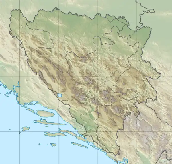
 Manjača Location in Bosnia and Herzegovina | |
| Location | Bosnia and Herzegovina |
Manjača (Serbian Cyrillic: Мањача) is a name of a mountain located 22 km south of the city Banja Luka,[1] in northern part of Bosnia and Herzegovina. Its highest peak is 1,239 m (4,065 ft) high peak Velika Manjača.
History
The region was a stronghold during World War II for Serbian nationalist Chetnik fighters. After the climax of the war, the new communist government of Josip Broz Tito dispersed the local Serb population as retribution and established a large army base and firing range for the new Yugoslav People's Army (JNA).
It held a significant military base of the JNA in the second part of 20th century and was one of the military strongholds of the Army of Republika Srpska during the Bosnian War. The mountain became internationally renowned as it was the site of the Manjača Concentration camp run by Republika Srpska authorities.
References
- ↑ "Na Manjači grade turističko-rekreacijski kompleks". poslovni.hr (in Croatian). 17 June 2019. Retrieved 27 September 2019.
External links