| Manuden | |
|---|---|
 St. Mary the Virgin, Manuden | |
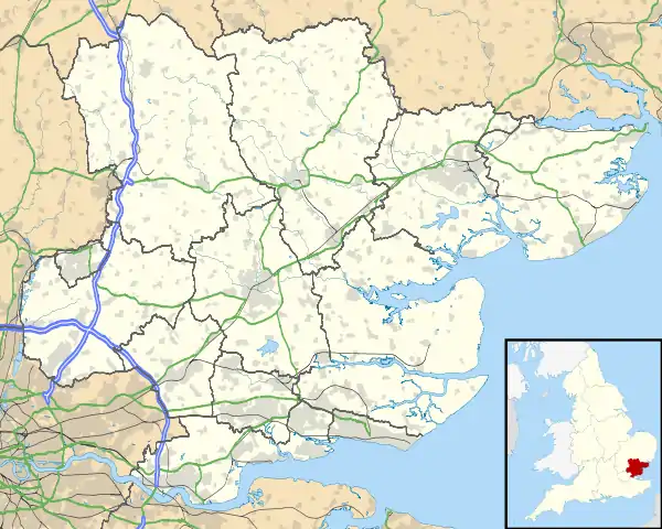
 Manuden Location within Essex | |
| Population | 677 (2011)[1] |
| OS grid reference | TL491266 |
| Civil parish |
|
| District | |
| Shire county | |
| Region | |
| Country | England |
| Sovereign state | United Kingdom |
| Post town | BISHOP'S STORTFORD |
| Postcode district | CM23 |
| Dialling code | 01279 |
| Police | Essex |
| Fire | Essex |
| Ambulance | East of England |
| UK Parliament | |
Manuden is a village and civil parish in the Uttlesford district of Essex, England. It is located around 3+1⁄2 miles (6 km) north of Bishop's Stortford, in the neighbouring county of Hertfordshire, and around 8 miles (13 km) south-west of Saffron Walden. The village has its own parish council.[2]
Manuden is mentioned in the Domesday Book of 1086 as one of the settlements within Clavering hundred.
Part of Manuden is designated as a conservation area,[3] with several listed buildings in and around the village.[4]
The local church is St Mary the Virgin. A tablet within the church commemorates the Jacobean statesman and diplomat William Wade, who spent his retirement at Battles Hall in the village, and is buried in the church.[2]
There is a primary school in the village.[5] In 2010, Manuden County Primary School topped the league table for English schools at KS2 with all pupils attaining level 5 in both English and maths.[6]
There are several active village organisations, including a local history society, junior football club and a cricket club.[2]
See also
References
- ↑ "Parish population 2011". Retrieved 27 September 2015.
- 1 2 3 "Manuden Village Website". Retrieved 8 June 2009.
- ↑ "Conservation area map of Manuden". Archived from the original on 17 August 2011. Retrieved 17 June 2009.
- ↑ "Listed buildings map of Manuden". Archived from the original on 17 August 2011. Retrieved 17 June 2009.
- ↑ "Manuden Primary School". Retrieved 8 June 2009.
- ↑ "Department for Education KS2 Statistics 2010". Retrieved 14 January 2011.
External links
![]() Media related to Manuden at Wikimedia Commons
Media related to Manuden at Wikimedia Commons