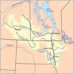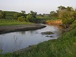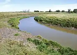


The Maple River is a tributary of the Sheyenne River, about 198 miles (319 km) long,[1] in the Red River Valley of eastern North Dakota in the United States. Via the Sheyenne River, the Red River of the North, Lake Winnipeg and the Nelson River, the Maple is part of the watershed of Hudson Bay.
Course
The Maple River flows through Steele, Barnes, Cass and Ransom counties. It begins as an intermittent stream near the town of Finley in Steele County, and flows generally southward to Enderlin, where it turns to the northeast and flows past Mapleton. It joins the Sheyenne River about 5 miles (8 km) north of West Fargo, not far upstream of the Sheyenne's confluence with the Red.[2]
At Enderlin it collects a short tributary known as the South Branch Maple River,[3] which flows for its entire length in northern Ransom County.[2]
See also
References
- ↑ U.S. Geological Survey. National Hydrography Dataset high-resolution flowline data. The National Map Archived 2012-03-29 at the Wayback Machine, accessed June 8, 2011
- 1 2 DeLorme (1999). North Dakota Atlas & Gazetteer. Yarmouth, Maine: DeLorme. ISBN 0-89933-343-5.
- ↑ U.S. Geological Survey Geographic Names Information System: South Branch Maple River
46°55′56″N 96°55′24″W / 46.93222°N 96.92333°W