Marawila | |
|---|---|
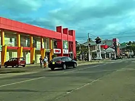 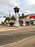 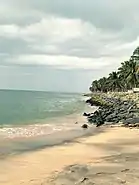 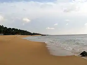 Clockwise from top: Marawila Town, Marawila Clock Tower, Marawila Beach, Marawila Beach | |
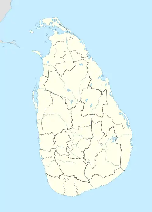 Marawila Location in Sri Lanka | |
| Coordinates: 7°24′34″N 79°49′56″E / 7.40944°N 79.83222°E | |
| Country | Sri Lanka |
| Province | North Western Province |
| District | Puttalam District |
| Time zone | +5.30 |
| Postal code | 61210 |
Marawila is a town in Puttalam District, North Western Province, Sri Lanka.
It is located on the A3 highway, which connects Negombo and Chilaw. The town is located 27 km (17 mi) away from Negombo.[1][2][3] Marawila is one of the tourist attractions on the west coast of Sri Lanka and known for its beaches.[4]
Infrastructure
Education
- St. Xavier's College, Marawila
- Holy Family Girls School, Marawila
- St. Mary's Boys School
Hospitals
A Type B Government Base Hospital situated in Marawila.
References
- ↑ "Dutch Map". DeFonseka.com. Archived from the original on 24 April 2016. Retrieved 16 September 2019.
- ↑ "Ancestral Hometowns". DeFoneska.com. 9 April 2016. Archived from the original on 19 April 2016. Retrieved 16 September 2019.
- ↑ "Philanthropist par excellence". The Daily News. 5 March 2012. Retrieved 16 September 2015.
- ↑ "Marawila Holidays, Sri Lanka". Mercury Holidays. Retrieved 15 December 2019.
This article is issued from Wikipedia. The text is licensed under Creative Commons - Attribution - Sharealike. Additional terms may apply for the media files.