Mariquita Airport Aeropuerto Mariquita | |||||||||||
|---|---|---|---|---|---|---|---|---|---|---|---|
| Summary | |||||||||||
| Airport type | Public | ||||||||||
| Operator | Government | ||||||||||
| Serves | Mariquita, Colombia | ||||||||||
| Elevation AMSL | 467 m / 1,531 ft | ||||||||||
| Coordinates | 05°12′45″N 074°53′01″W / 5.21250°N 74.88361°W | ||||||||||
| Map | |||||||||||
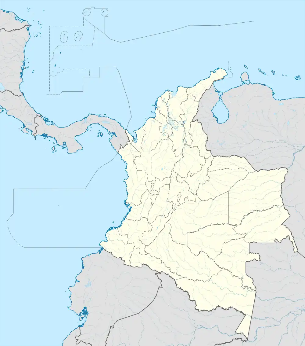
 MQU Location of the airport in Colombia | |||||||||||
| Runways | |||||||||||
| |||||||||||
Mariquita Airport (Spanish: Aeropuerto Mariquita) (IATA: MQU, ICAO: SKQU) is an airport serving Mariquita, a municipality of the Tolima Department in Colombia. The runway is adjacent to the north side of the town.
The Mariquita VOR-DME (Ident: MQU) is located 2.25 nautical miles (4.17 km) west of the airport.[4]
See also
References
- ↑ Airport information for SKQU[usurped] from DAFIF (effective October 2006)
- ↑ Airport information for MQU at Great Circle Mapper.
- ↑ Google Maps - Mariquita
- ↑ OurAirports - MQU VOR
External links
- OpenStreetMap - Mariquita
- OurAirports - Mariquita
- SkyVector - Mariquita
- FallingRain - Mariquita
- Accident history for MQU at Aviation Safety Network
- Current weather for SKQU at NOAA/NWS
This article is issued from Wikipedia. The text is licensed under Creative Commons - Attribution - Sharealike. Additional terms may apply for the media files.