Marvik | |
|---|---|
Village | |
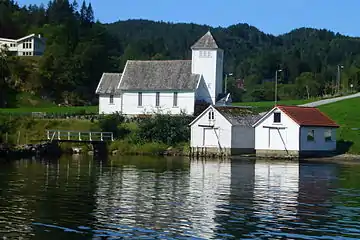 View of the village chapel | |
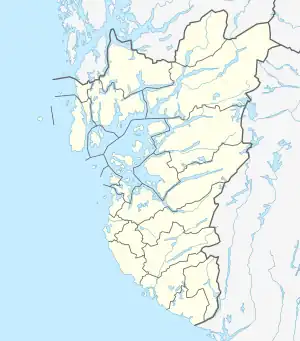 Marvik Location in Rogaland county 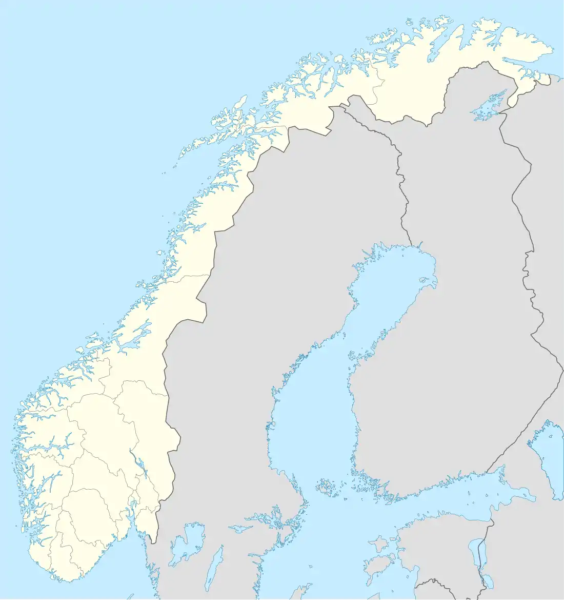 Marvik Marvik (Norway) | |
| Coordinates: 59°24′39″N 06°04′55″E / 59.41083°N 6.08194°E | |
| Country | Norway |
| Region | Western Norway |
| County | Rogaland |
| District | Ryfylke |
| Municipality | Suldal |
| Elevation | 9 m (30 ft) |
| Time zone | UTC+01:00 (CET) |
| • Summer (DST) | UTC+02:00 (CEST) |
| Post Code | 4235 Hebnes |
Marvik is a village situated in Suldal municipality in Rogaland county, Norway. The village is located along the Sandsfjorden on the southern coast of the Ropeid peninsula. The village serves as a commercial centre of the peninsula, having a general store, primary school, marina, library, and Marvik Chapel.
The Sandsfjord Bridge located a short distance east of Marvik. It opened in 2016. This bridge gives residents of Marvik a 20-kilometre (12 mi) long, ferry-free route to the municipal centre of Sand (without the bridge, it used to be a 120 kilometres (75 mi) drive around several fjords to reach Sand without using a ferry).
References
- ↑ "Marvik, Suldal (Rogaland)" (in Norwegian). yr.no. Retrieved 2015-05-25.
This article is issued from Wikipedia. The text is licensed under Creative Commons - Attribution - Sharealike. Additional terms may apply for the media files.