Matjiesrivier | |
|---|---|
 Matjiesrivier  Matjiesrivier | |
| Coordinates: 33°23′56″S 22°02′06″E / 33.399°S 22.035°E | |
| Country | South Africa |
| Province | Western Cape |
| District | Garden Route |
| Municipality | Oudtshoorn |
| Time zone | UTC+2 (SAST) |
| PO box | 6634 |
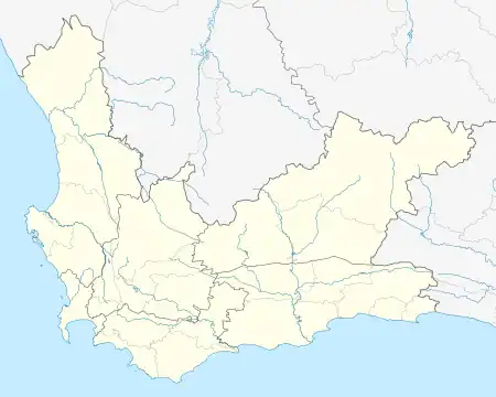
Matjiesrivier is a town at the southern foot of the Waboomsberg, some 37 km south of Prince Albert, off the road to Oudtshoorn. Afrikaans for 'mat river', the reference is to a type of sedge (Cyperus textilis) growing there, used by Khoekhoen in making mats with which they made their huts. Matjiesgoed is the common name for this sedge, literally 'mat stuff.[1]
References
- ↑ Raper, Peter E. (1987). Dictionary of Southern African Place Names. Internet Archive. p. 301. Retrieved 28 August 2013.
This article is issued from Wikipedia. The text is licensed under Creative Commons - Attribution - Sharealike. Additional terms may apply for the media files.
.svg.png.webp)