
Mawlamyine town
Mawlamyine District (Burmese: မော်လမြိုင်ခရိုင်) is a(Mon language :ခရီုမတ်မလီု) district of the Mon State in Myanmar. The capital is Mawlamyine town. The district covers an area of 6,084 km2, and had a population of 1,232,221 at the 2014 Census.[1]
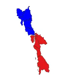
location in Mon state (in red)
Townships
References
- 1 2 CityPopulation.de. "MYANMAR: Administrative Division". Archived from the original on 19 January 2020. Retrieved 28 August 2020.
Capital: Mawlamyine | ||
| Mawlamyine District |  | |
| Thaton District | ||
| Cities, towns, and villages |
| |
15°46′N 97°51′E / 15.767°N 97.850°E
This article is issued from Wikipedia. The text is licensed under Creative Commons - Attribution - Sharealike. Additional terms may apply for the media files.