Mayville | |
|---|---|
 Mayville  Mayville | |
| Coordinates: 25°42′17″S 28°11′22″E / 25.70472°S 28.18944°E | |
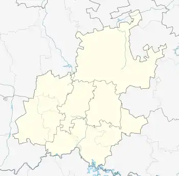
| Country | South Africa |
| Province | Gauteng |
| Municipality | City of Tshwane |
| Main Place | Pretoria |
| Area | |
| • Total | 1.06 km2 (0.41 sq mi) |
| Population (2011)[1] | |
| • Total | 2,741 |
| • Density | 2,600/km2 (6,700/sq mi) |
| Racial makeup (2011) | |
| • Black African | 17.0% |
| • Coloured | 2.2% |
| • Indian/Asian | 0.95% |
| • White | 79.5% |
| • Other | 0.3% |
| First languages (2011) | |
| • Afrikaans | 75.5% |
| • English | 10.5% |
| • Tswana | 2.2% |
| • Northern Sotho | 1.8% |
| • Other | 9.8% |
| Time zone | UTC+2 (SAST) |
| Postal code (street) | 0084 |
| PO box | n/a |
| Area code | 012 |
Mayville is a central-western suburb of Pretoria, South Africa (north of the CBD). It is also part of the so-called "Moot" community.
References
- 1 2 3 4 "Sub Place Mayville". Census 2011.
.svg.png.webp)
This article is issued from Wikipedia. The text is licensed under Creative Commons - Attribution - Sharealike. Additional terms may apply for the media files.