| McColleys Branch Tributary to Deep Creek | |
|---|---|
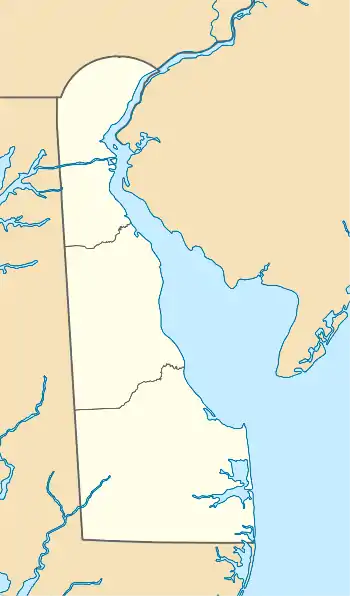 Location of McColleys Branch mouth  McColleys Branch (the United States) | |
| Location | |
| Country | United States |
| State | Delaware |
| County | Sussex |
| Physical characteristics | |
| Source | Horse Pound Swamp Ditch divide |
| • location | about 0.5 miles southwest of Bull Pine Corners, Delaware |
| • coordinates | 38°41′00″N 075°25′58″W / 38.68333°N 75.43278°W[1] |
| • elevation | 45 ft (14 m)[2] |
| Mouth | Deep Creek |
• location | about 3 miles southeast of Coverdale Crossroads, Delaware |
• coordinates | 38°41′07″N 075°28′48″W / 38.68528°N 75.48000°W[1] |
• elevation | 23 ft (7.0 m)[3] |
| Length | 4.28 mi (6.89 km)[4] |
| Basin size | 11.84 square miles (30.7 km2)[5] |
| Discharge | |
| • location | Deep Creek |
| • average | 14.54 cu ft/s (0.412 m3/s) at mouth with Deep Creek[5] |
| Basin features | |
| Progression | Deep Creek → Nanticoke River → Chesapeake Bay → Atlantic Ocean |
| River system | Nanticoke River |
| Tributaries | |
| • left | Raccoon Ditch |
| • right | New Ditch Layton-Vaugh Ditch |
| Bridges | E Trap Pond Road, US 9, Warrington Road, Asbury Road, Raccoon Ditch Road, Rum Bridge Road |
McColleys Branch is a 4.28 mi (6.89 km) long 2nd order tributary to Deep Creek in Sussex County, Delaware. This is the only stream of this name in the United States.[1]
Variant names
According to the Geographic Names Information System, it has also been known historically as:[1]
- McColley Branch
- New Ditch
Course
McColleys Branch rises on the Horse Pound Swamp Ditch divide about 0.5 miles southwest of Bull Pine Corners, Delaware, and then flows northwesterly to join Deep Creek about 3 miles southeast of Coverdale Crossroads.[3]
Watershed
McColleys Branch drains 11.84 square miles (30.7 km2) of area, receives about 45.2 in/year of precipitation, has a wetness index of 708.10, and is about 22% forested.[5]
See also
References
- 1 2 3 4 "GNIS Detail - McColleys Branch". geonames.usgs.gov. US Geological Survey. Retrieved May 23, 2021.
- ↑ "Get Maps". USGS Topoview. US Geological Survey. Retrieved May 23, 2021.
- 1 2 "Get Maps". USGS Topoview. US Geological Survey. Retrieved May 23, 2021.
- ↑ "ArcGIS Web Application". epa.maps.arcgis.com. US EPA. Retrieved May 23, 2021.
- 1 2 3 "McColleys Branch Watershed Report". US EPA Geoviewer. US EPA. Retrieved May 23, 2021.
This article is issued from Wikipedia. The text is licensed under Creative Commons - Attribution - Sharealike. Additional terms may apply for the media files.