| Media Aqua Creek | |
|---|---|
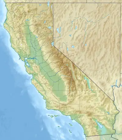 Location of the mouth of Media Aqua Creek in California | |
| Etymology | Spanish |
| Native name | Aguaje de en Media (Spanish) |
| Location | |
| Country | United States |
| State | California |
| Region | San Luis Obispo County, Kern County |
| Physical characteristics | |
| Source | source |
| • location | Temblor Range, San Luis Obispo County |
| • coordinates | 35°25′39″N 119°56′15″W / 35.42750°N 119.93750°W[1] |
| Mouth | mouth |
• location | San Joaquin Valley, Kern County |
• coordinates | 35°31′42″N 119°52′37″W / 35.52833°N 119.87694°W[1] |
• elevation | 896 ft (273 m)[1] |
Media Aqua Creek, originally Aguaje de en Media (Middle Watering Place), is a creek in northwestern Kern County and eastern San Luis Obispo County, central California.[2]
The stream's headwaters are in the Temblor Range, at an unnamed spring in San Luis Obispo County, 0.8 miles south of the Kern County−San Luis Obispo County border. It flows east-northeast to terminate in the San Joaquin Valley, 3 miles southeast of the former Twisselmann Ranch in Kern County.[1]
El Camino Viejo history
Aguaje de en Media (Middle Watering Place) was a watering stop on the 19th century El Camino Viejo of Alta California, between the stops of Arroyo de Los Carneros to the south and Aguaje Del Diablo to the west.[2] It was officially named Media Agua Creek in 1909.[1]
References
This article is issued from Wikipedia. The text is licensed under Creative Commons - Attribution - Sharealike. Additional terms may apply for the media files.