Megagle
Meygaagle | |
|---|---|
Village | |
 Megagle Location in Somaliland .svg.png.webp) Megagle Megagle (Somaliland) | |
| Coordinates: 8°28′N 46°18′E / 8.467°N 46.300°E | |
| Country | |
| Region | Togdheer |
| District | Buuhoodle |
| Time zone | UTC+3 (EAT) |
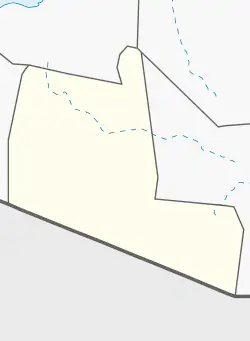
Megagle (Somali: Meygaagle) is a village in the Togdheer province of Somaliland. It is located in Buuhoodle District, north by road from Buuhoodle and Sool Joogto on the Megagle Road.[1][2] Megagle is excessively inhabited by the Reer Hagar (Hagar Adan) sub-clan of the Dhulbahante and was taken from the Habar Jeclo of the isaaq sub-clan in the battles between the Ahmed Garaad sub-clan of Dhulbahante and the Habar Jeclo sub-clan of isaaq. In the end, Habar Jeclo was pushed out of the region only leaving them with one town that they are the majority, Most of the towns were divided between the Adan Ahmed confederation which are the Reer Hgar (Hagar Adan) Waeys Adan, Mahad Adan, Farah Adan.
Notes
See also
References
- ↑ Google Maps (Map). Google.
- ↑ Bing Maps (Map). Microsoft and Harris Corporation Earthstar Geographics LLC.
External links
This article is issued from Wikipedia. The text is licensed under Creative Commons - Attribution - Sharealike. Additional terms may apply for the media files.