Mellekh Rural Municipality
मेल्लेख गाउँपालिका | |
|---|---|
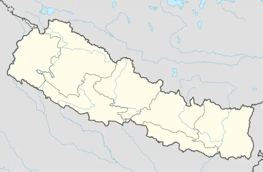 Mellekh Rural Municipality नेपालको नक्शामा जलजला गाउँपालिका | |
| Coordinates: 29°15′45″N 81°19′15″E / 29.2625°N 81.3209°E | |
| Country | |
| Province | Sudurpashchim Province |
| District | Achham District |
| Government | |
| • Type | Local government |
| • Chairperson | Lok B. Bohora |
| • Administrative head | Hikkmat B. Budha |
| Area | |
| • Total | 134.78 km2 (52.04 sq mi) |
| Population | |
| • Total | 24,670 |
| • Density | 180/km2 (470/sq mi) |
| Time zone | UTC+05:45 (Nepal Standard Time) |
| Website | http://mellekhmun.gov.np |
Mellekh (Nepali: मेल्लेख ) is a Gaupalika (Nepali: गाउपालिका ; gaupalika) in Achham District in the Sudurpashchim Province of far-western Nepal.[1]
Mellekh has a population of 24670. The land area is 134.78 km2.[2]
Demographics
At the time of the 2011 Nepal census, Mellekh Rural Municipality had a population of 24,728. Of these, 94.4% spoke Achhami, 5.4% Nepali and 0.1% other languages as their first language.[3]
In terms of ethnicity/caste, 72.2% were Chhetri, 14.0% other Dalit, 5.2% Kami, 2.8% Sarki, 1.8% Thakuri, 1.7% Hill Brahmin, 1.7% Damai/Dholi, 0.2% Badi, 0.2% Newar and 0.1% others.[4]
In terms of religion, 99.9% were Hindu.[5]
In terms of literacy, 57.5% could read and write, 4.4% could only read and 38.1% could neither read nor write.[6]
References
- ↑ "Ministry of Federal Affairs". Retrieved 6 July 2020.
- ↑ "National Population and Housing Census 2011(National Report)" (PDF). Central Bureau of Statistics. Government of Nepal. 2012. Archived from the original (PDF) on 2013-04-18. Retrieved 2012-01-01.
- ↑ NepalMap Language
- ↑ NepalMap Caste
- ↑ NepalMap Religion
- ↑ NepalMap Literacy
Headquarters: Mangalsen | ||
| Urban municipalities | 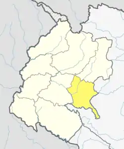 | |
| Rural municipalities | ||
For former VDCs See here | ||
This article is issued from Wikipedia. The text is licensed under Creative Commons - Attribution - Sharealike. Additional terms may apply for the media files.