| Merrick Butte | |
|---|---|
 | |
| Highest point | |
| Elevation | 6,206 ft (1,892 m) NAVD 88[1] |
| Prominence | 966 ft (294 m)[1] |
| Coordinates | 36°58′50″N 110°05′09″W / 36.9805572°N 110.0859588°W[2] |
| Geography | |
 Merrick Butte | |
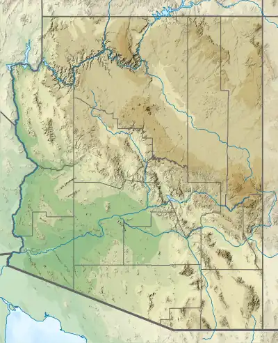
| Location | Navajo County, Arizona. U.S. |
| Topo map | USGS Mitten Buttes |
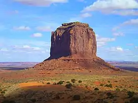
Merrick Butte is a butte located in Monument Valley[3] and is part of the Monument Valley Navajo Tribal Park, similar to its neighbors West and East Mitten Buttes just to the north.[4] It was named after silver miner Jack Merrick, killed by Indians in 1880.
References
- 1 2 "Merrick Butte". Peakbagger.com. Retrieved 2016-08-22.
- ↑ "Merrick Butte". Geographic Names Information System. United States Geological Survey, United States Department of the Interior. Retrieved 2016-08-22.
- ↑ Mitten Buttes Quadrangle, Arizona-Utah, 7.5 Minute Series, US Geological Survey, 1738 ed.
- ↑ Arizona Atlas & Gazetteer, De Lorme, 4th ed., 2001, p. 26 ISBN 0-89933-325-7
External links
 Media related to Merrick Butte at Wikimedia Commons
This article is issued from Wikipedia. The text is licensed under Creative Commons - Attribution - Sharealike. Additional terms may apply for the media files.