| Mesahchie Glacier | |
|---|---|
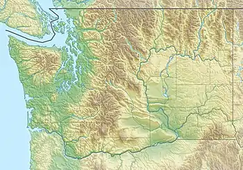 Mesahchie Glacier Location in Washington | |
| Type | Mountain glacier |
| Location | Skagit County, Washington, U.S. |
| Coordinates | 48°34′56″N 120°51′56″W / 48.58222°N 120.86556°W[1] |
| Length | .35 mi (0.56 km) |
| Terminus | Barren rock/icefall |
| Status | Retreating |
Mesahchie Glacier is in North Cascades National Park in the U.S. state of Washington, in a cirque to the northeast of Mesahchie Peak.[2] Mesahchie Peak is the highest summit along a ridge known as Jagged Edge.[3] Mesahchie Glacier is approximately .75 mi (1.21 km) in width and is immediately east of Katsuk Glacier.[2]
See also
References
- ↑ "Mesahchie Glacier". Geographic Names Information System. United States Geological Survey, United States Department of the Interior. Retrieved April 27, 2013.
- 1 2 Mount Arriva, WA (Map). TopoQwest (United States Geological Survey Maps). Retrieved April 27, 2013.
- ↑ Beckey, Fred (2003). Cascade Alpine Guide: Climbing and High Routes, Stevens Pass to Rainy Pass. The Mountaineers Books. pp. 352–355. ISBN 978-0-89886-838-8.
This article is issued from Wikipedia. The text is licensed under Creative Commons - Attribution - Sharealike. Additional terms may apply for the media files.