Mhluzi | |
|---|---|
 Mhluzi  Mhluzi | |
| Coordinates: 25°45′32″S 29°25′47″E / 25.75889°S 29.42972°E | |
| Country | South Africa |
| Province | Mpumalanga |
| District | Nkangala |
| Municipality | Steve Tshwete |
| Area | |
| • Total | 10.29 km2 (3.97 sq mi) |
| Elevation | 1,490 m (4,890 ft) |
| Population (2011)[1] | |
| • Total | 76,462 |
| • Density | 7,400/km2 (19,000/sq mi) |
| Racial makeup (2011) | |
| • Black African | 98.5% |
| • Coloured | 0.7% |
| • Indian/Asian | 0.2% |
| • White | 0.2% |
| • Other | 0.4% |
| First languages (2011) | |
| • Zulu | 43.0% |
| • S. Ndebele | 18.0% |
| • Northern Sotho | 16.7% |
| • Swazi | 6.6% |
| • Other | 15.7% |
| Time zone | UTC+2 (SAST) |
| Postal code (street) | 1050 |
| PO box | 1055 |
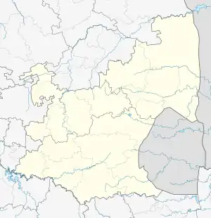
Mhluzi is a township just west of the large farming and industrial town Middelburg in the South African province of Mpumalanga.
It has 8 primary schools and 6 secondary.
Background and History
The Town Councils of Middelburg and Mhluzi, as well as the Management Committees for Eastdene (Indian area) and Nasaret (Coloured area according to apartheid laws) amalgamated during 1994 to form the Transitional Local Council for Middelburg.
Middelburg was the first town in Mpumalanga to amalgamate in terms of the Local Government Transition Act, and the proclamation to establish the new TLC appeared in the Mpumalanga Provincial Gazette, No 2/1994 on 16 November 1994.
Education
Primary schools
- Manyano Primary School
- Thušanang Primary School
- Mvuzo Primary School
- Mhluzi Primary School
- Elusindisweni Primary School
- Makhathini Primary School
- Tshwenyane Combined School
- Bonginkosi primary school
Secondary schools
- Sozama Secondary School
- Sofunda Secondary School
- Mphanama comprehensive high school
- L.D Moetanalo high school
- Ekwazini secondary school
- Saint Peter Christian College
References
- 1 2 3 4 "Main Place Mhluzi". Census 2011.
This article is issued from Wikipedia. The text is licensed under Creative Commons - Attribution - Sharealike. Additional terms may apply for the media files.
.svg.png.webp)