Miles, North Carolina | |
|---|---|
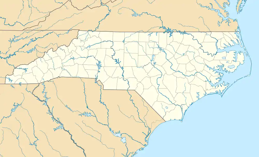 Location of Miles in North Carolina  Miles, North Carolina (the United States) | |
| Coordinates: 36°05′10″N 79°13′35″W / 36.08611°N 79.22639°W | |
| Country | United States |
| State | North Carolina |
| County | Orange |
| Elevation | 702 ft (214 m) |
| Time zone | UTC-5 (Eastern (EST)) |
| • Summer (DST) | UTC-4 (EDT) |
| Area code | 919 |
| GNIS feature ID | 989850[1] |
Miles is an unincorporated community in Orange County, North Carolina, United States, located on U.S. Route 70, north of Buckhorn.
References
- 1 2 U.S. Geological Survey Geographic Names Information System: Miles, North Carolina. Retrieved on 2008-03-28.
36°05′11″N 79°13′35″W / 36.086250°N 79.226405°W
Municipalities and communities of Orange County, North Carolina, United States | ||
|---|---|---|
| Cities |  | |
| Towns | ||
| CDPs | ||
| Unincorporated communities | ||
| Footnotes | ‡This populated place also has portions in an adjacent county or counties | |
This article is issued from Wikipedia. The text is licensed under Creative Commons - Attribution - Sharealike. Additional terms may apply for the media files.