| Mills Creek | |
|---|---|
   | |
| Location | |
| Country | United States |
| State | California |
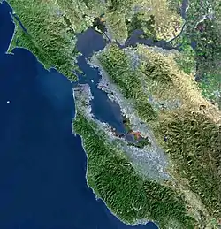
| Region | San Mateo County |
| City | Burlingame |
| Physical characteristics | |
| Source | |
| • location | San Mateo County, California |
| Mouth | |
• location | Burlingame, California |
• coordinates | 37°35′50″N 122°21′57″W / 37.59733°N 122.36571°W |
• elevation | 29 ft (8.8 m) |
Mills Creek is a short eastward-flowing stream whose watershed originates in and around Mills Canyon Park in Burlingame's foothills in San Mateo County, California, United States.[1] The creek runs south of Millbrae Creek and north of Easton Creek watercourses respectively.[1]
The creek is in a mostly natural channel through the hills and residential flatlands of Burlingame. Starting near the Caltrain tracks, it is partially culverted and channelized into the San Francisco Bay.[1]
Watercourse gallery
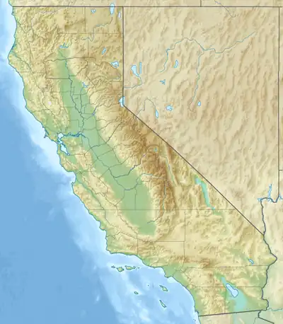
 Mills Canyon Wildlife Area headwaters region
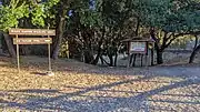
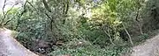 In Mills Canyon
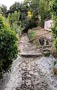 upstream of railroad tracks
 Pano along railroad tracks (left) and Rollins Road (right)
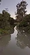 At Rollins Road
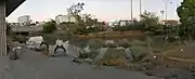 Behind the Adrian Storm Station
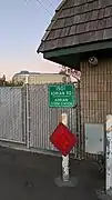 Adrian Storm Station
 Upstream from Old Bayshore Highway
 Slough entering the Bay
See also
References
- 1 2 3 Mills Creek Watershed, Oakland Museum of California, access date 05-27-2019
External links
This article is issued from Wikipedia. The text is licensed under Creative Commons - Attribution - Sharealike. Additional terms may apply for the media files.