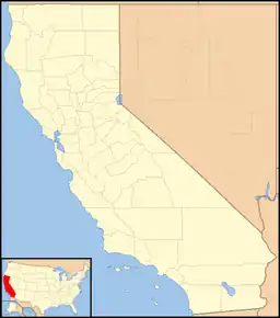
38°01′55″N 120°51′08″W / 38.03194°N 120.85222°W
Milton | |
|---|---|
 Milton Location in California  Milton Milton (the United States) | |
| Coordinates: 38°01′55″N 120°51′08″W / 38.03194°N 120.85222°W | |
| Country | United States |
| State | California |
| County | Calaveras County |
| Elevation | 394 ft (120 m) |
| Reference no. | 262 |
Milton is an unincorporated community in Calaveras County, California. It lies at an elevation of 394 feet (120 m) and is located at 38°01′55″N 120°51′08″W / 38.03194°N 120.85222°W. The community is in ZIP code 95684 and area code 209.
Milton was established in 1871 when the Stockton and Copperopolis Railroad, later a Southern Pacific Railroad branch, was completed. The town was named for railroad engineer Milton Latham. As the terminus of the railroad, Milton was a staging point for travelers completing their journeys by wagon or stagecoach.[2]
The town today is registered as California Historical Landmark #262.[2]
A post office was established in 1871 and closed in 1942.[3]
Politics
In the state legislature, Milton is in the 8th Senate District, represented by Democrat Angelique Ashby,[4] and the 5th Assembly District, represented by Republican Joe Patterson.[5] Federally, Milton is in California's 4th congressional district, represented by Democrat Mike Thompson.[6]
See also
References
- ↑ U.S. Geological Survey Geographic Names Information System: Milton, California
- 1 2 "Milton". Office of Historic Preservation, California State Parks. Retrieved October 6, 2012.
- ↑ Durham, David L. (1998). California's Geographic Names: A Gazetteer of Historic and Modern Names of the State. Clovis, Calif.: Word Dancer Press. p. 803. ISBN 1-884995-14-4.
- ↑ "Senators". State of California. Retrieved March 21, 2013.
- ↑ "Members Assembly". State of California. Retrieved March 21, 2013.
- ↑ "California's 4th Congressional District - Representatives & District Map". Civic Impulse, LLC. Retrieved March 1, 2013.
External links
