Mirzapur Union
মির্জাপুর ইউনিয়ন | |
|---|---|
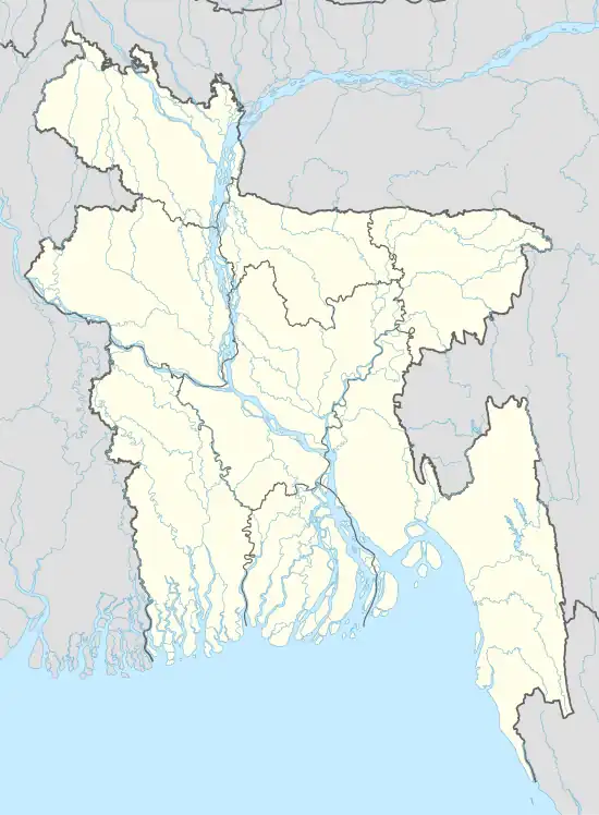 Mirzapur Union Location of Mirzapur Union in Bangladesh | |
| Coordinates: 24°31′01″N 89°55′56″E / 24.5169564°N 89.9323127°E | |
| Country | Bangladesh |
| Division | Dhaka Division |
| District | Tangail District |
| Upazila | Gopalpur Upazila |
| Established | 1984 |
| Government | |
| • Type | Union Council |
| • Chairman | Halimuzzaman Talukdar (Bangladesh Awami League) |
| Area | |
| • Total | 22.62 km2 (8.73 sq mi) |
| Elevation | 18 m (59 ft) |
| Population (2011) | |
| • Total | 27,359 |
| • Density | 1,200/km2 (3,100/sq mi) |
| Time zone | UTC+6 (BST) |
| Postal code | 1990 |
| Website | https://mirzapurup.tangail.gov.bd/ |
Mirzapur Union (Bengali: মির্জাপুর ইউনিয়ন) is a union of Gopalpur Upazila, Tangail District, Bangladesh. It is situated 8 kilometres (5.0 mi) southeast of Gopalpur and 55 kilometres (34 mi) north of Tangail, the district headquarters.
Demographics
According to the 2011 Bangladesh census, Mirzapur Union had 7,103 households and a population of 27,359. The literacy rate (age 7 and over) was 42.8% (male: 44.6%, female: 41.2%).[1]
See also
References
- ↑ "Community Report: Tangail" (PDF). Population & Housing Census 2011. Bangladesh Bureau of Statistics. Archived from the original (PDF) on 2016-12-02. Retrieved 2017-06-18.
This article is issued from Wikipedia. The text is licensed under Creative Commons - Attribution - Sharealike. Additional terms may apply for the media files.