Mitsinjo District | |
|---|---|
District | |
 | |
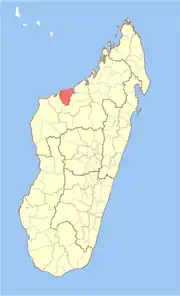 Location in Madagascar | |
| Coordinates: 16°12′S 45°47′E / 16.200°S 45.783°E | |
| Country | |
| Region | Boeny |
| Area | |
| • Total | 5,894 km2 (2,276 sq mi) |
| Population (2001) | |
| • Total | 53,405 |
| • Density | 9.1/km2 (24/sq mi) |
| • Ethnicities | Sakalava |
| Time zone | UTC3 (EAT) |
| Postal code | 417 |
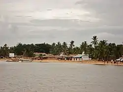
Mitsinjo is a district in western Madagascar. It is a part of Boeny Region and borders the districts of Marovoay in east, Ambato-Boeni in south and Soalala in west. The area is 5,894 km2 (2,276 sq mi) and the population was estimated to be 53,405 in 2001.[1]
Communes
The district is further divided into seven communes:
Personalities
References
- 1 2 "Madagascar Administrative units". GeoHive. Archived from the original on 2009-04-23. Retrieved 2008-03-03.
16°12′S 45°57′E / 16.200°S 45.950°E
Capital: Mahajanga | ||
| Ambato-Boeni (11) (403) | 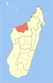 | |
| Mahajanga (1) | ||
| Mahajanga II (9) (402) | ||
| Marovoay (12) (416) | ||
| Mitsinjo (7) (417) | ||
| Soalala (3) (420) | ||
6 districts; 43 communes | ||
This article is issued from Wikipedia. The text is licensed under Creative Commons - Attribution - Sharealike. Additional terms may apply for the media files.