Mohlunke
موہالانکے | |
|---|---|
Village | |
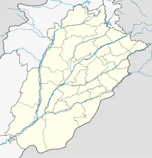 Mohlunke Location of Mohlunke  Mohlunke Mohlunke (Pakistan) | |
| Coordinates: 32°27′6″N 73°9′53″E / 32.45167°N 73.16472°E | |
| Country | |
| Province | |
| District | Gujranwala |
| Tehsil | Wazirabad |
| Area | |
| • Total | 0.80 sq mi (2.08 km2) |
| Population | |
| • Estimate (2017) | 3,587 [1] |
| Time zone | UTC+5 (PST) |
| • Summer (DST) | +5 |
| Postal code type | 52070 |
| Calling code | 055 |
Mohlunke (Urdu: موہالانکے), is a village in Wazirabad Tehsil, Gujranwala District, Punjab, Pakistan.
Education
- Government Boys Primary School Mohlanke[2]
- Government Girls Primary School Mohlanke
See also
- Gujranwala
- Ahmad Nagar
References
- ↑ "GUJRANWALA BLOCKWISE" (PDF). Pakistan Bureau of Statistics. Retrieved 2021-03-19.
- ↑ "NAs Gujranwala Polling Scheme" (PDF). Election Commission of Pakistan. Retrieved 2021-03-21.
This article is issued from Wikipedia. The text is licensed under Creative Commons - Attribution - Sharealike. Additional terms may apply for the media files.