Montpelier, Mississippi | |
|---|---|
 Montpelier  Montpelier | |
| Coordinates: 33°43′04″N 88°56′52″W / 33.71778°N 88.94778°W | |
| Country | United States |
| State | Mississippi |
| County | Clay |
| Elevation | 289 ft (88 m) |
| Time zone | UTC-6 (Central (CST)) |
| • Summer (DST) | UTC-5 (CDT) |
| ZIP code | 39754[1] |
| Area code | 662 |
| GNIS feature ID | 673749 |
Montpelier (also Crosstown, LaCross) is an unincorporated community in Clay County, Mississippi, United States.[2] It is located along Mississippi Highway 46 in the northwestern part of the county. The community contains West Clay Elementary School.[3]
A post office first began operation under the name Montpelier in 1853.[4]
Montpelier's Historic District is listed on the National Register of Historic Places.
Notes
- ↑ "Montpelier ZIP Code". zipdatamaps.com. 2022. Retrieved November 11, 2022.
- ↑ "Montpelier, Mississippi". Geographic Names Information System. United States Geological Survey, United States Department of the Interior.
- ↑ "West Point Consolidated School District, West Clay Elementary School". Mississippi Department of Environmental Quality. Retrieved May 27, 2020.
- ↑ "Clay County". Jim Forte Postal History. Retrieved May 26, 2020.
Municipalities and communities of Clay County, Mississippi, United States | ||
|---|---|---|
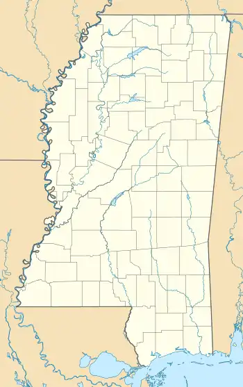
| City |  Map of Mississippi highlighting Clay County | |
| CDP | ||
| Other communities | ||
| Ghost town | ||
This article is issued from Wikipedia. The text is licensed under Creative Commons - Attribution - Sharealike. Additional terms may apply for the media files.