| Moore Park Nature Reserve New South Wales | |||||||||
|---|---|---|---|---|---|---|---|---|---|
IUCN category IV (habitat/species management area) | |||||||||
 dry rainforest at Moore Park Nature Reserve | |||||||||
 Moore Park Nature Reserve | |||||||||
| Nearest town or city | Kyogle | ||||||||
| Coordinates | 28°26′14″S 152°52′45″E / 28.43722°S 152.87917°E | ||||||||
| Postcode(s) | 2474 | ||||||||
| Elevation | 78 m (256 ft) | ||||||||
| Area | 9 ha[1] | ||||||||
| Managing authorities | NSW National Parks & Wildlife Service | ||||||||
| Website | Moore Park Nature Reserve | ||||||||
| |||||||||
| See also | Protected areas of New South Wales | ||||||||
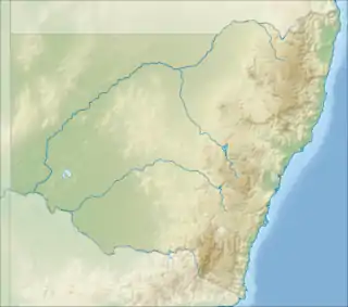
Moore Park Nature Reserve is a small remnant of "dry" rainforest in Northern New South Wales. It lies at the confluence of Findon Creek and the Richmond River. It was once part of a larger rainforest known as Boyd's Scrub. A colony of Flying Foxes lives in the rainforest.
The forest is dominated by a large Moreton Bay Fig. Other canopy species include the Black Bean, Silky Oak, Plum Pine and Native Elm.[2]
This country traditionally belongs to the Githabul Aboriginal people, for whom the rainforest was a very important source of food.[3]
See also
References
- ↑ "Moore Park Nature Reserve: Park management". Office of Environment & Heritage. Government of New South Wales. Retrieved 15 February 2017.
- ↑ Floyd, A. G. (1990). Australian Rainforests of New South Wales. Vol. 2. p. 83. ISBN 0-949324-32-9.
- ↑ "Moore Park Nature Reserve | Learn more". NSW National Parks. Retrieved 4 November 2021.
This article is issued from Wikipedia. The text is licensed under Creative Commons - Attribution - Sharealike. Additional terms may apply for the media files.