Morais | |
|---|---|
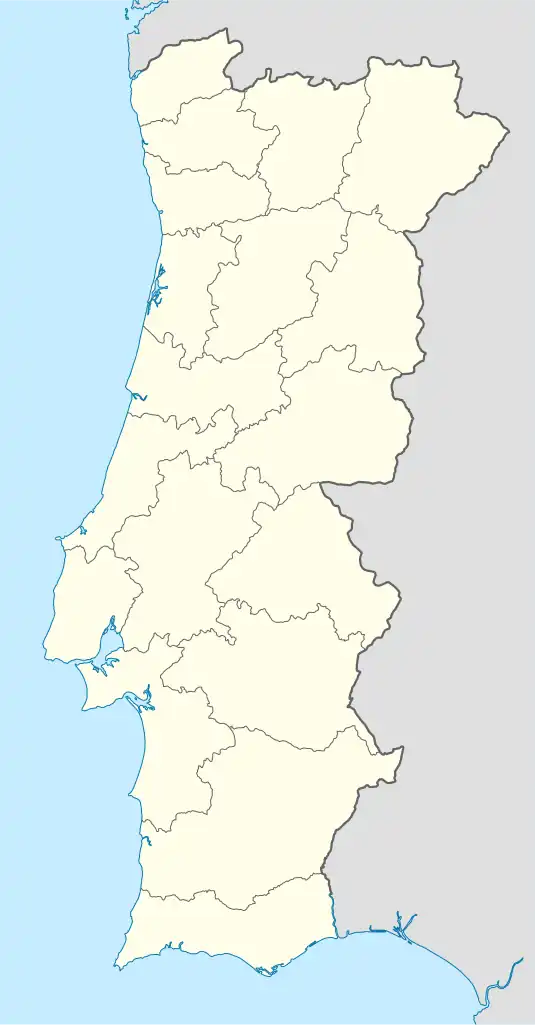 Morais Location in Portugal | |
| Coordinates: 41°29′38″N 6°46′12″W / 41.494°N 6.770°W | |
| Country | |
| Region | Norte |
| Intermunic. comm. | Terras de Trás-os-Montes |
| District | Bragança |
| Municipality | Macedo de Cavaleiros |
| Area | |
| • Total | 52.16 km2 (20.14 sq mi) |
| Population (2011) | |
| • Total | 644 |
| • Density | 12/km2 (32/sq mi) |
| Time zone | UTC±00:00 (WET) |
| • Summer (DST) | UTC+01:00 (WEST) |
| Website | morais.jfreguesia.com |
Morais is a Portuguese parish located in the municipality of Macedo de Cavaleiros (Bragança District). The population in 2011 was 644,[1] in an area of 52.16 km².[2]
See also
- Morais Natura 2000 Site – Site of high geological, botanical and zoological interest
- Morais Ophiolite Complex – Metamorphic complex of oceanic and continental crust terranes in Portugal
References
- ↑ Instituto Nacional de Estatística
- ↑ "Áreas das freguesias, concelhos, distritos e país". Archived from the original on 2018-11-05. Retrieved 2018-11-05.
This article is issued from Wikipedia. The text is licensed under Creative Commons - Attribution - Sharealike. Additional terms may apply for the media files.