Morrisburg Airport | |||||||||||
|---|---|---|---|---|---|---|---|---|---|---|---|
 | |||||||||||
| Summary | |||||||||||
| Airport type | Public | ||||||||||
| Operator | St. Lawrence Parks Commission | ||||||||||
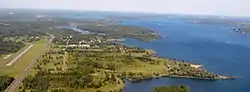
| Location | Morrisburg, Ontario | ||||||||||
| Time zone | EST (UTC−05:00) | ||||||||||
| • Summer (DST) | EDT (UTC−04:00) | ||||||||||
| Elevation AMSL | 254 ft / 77 m | ||||||||||
| Coordinates | 44°57′N 075°05′W / 44.950°N 75.083°W | ||||||||||
| Map | |||||||||||
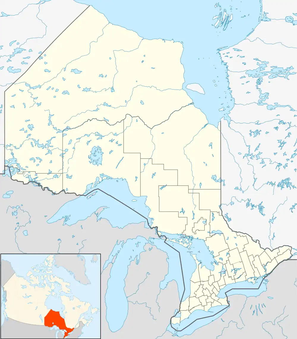 CNS8 Location in Ontario | |||||||||||
| Runways | |||||||||||
| |||||||||||
Source: Canada Flight Supplement[1] | |||||||||||
Morrisburg Airport (TC LID: CNS8) is an airport 4.7 nautical miles (8.7 km; 5.4 mi) east-northeast of Morrisburg, Ontario, Canada, adjacent to the tourist site Upper Canada Village. It has a single, 2,800 by 75 ft (853 by 23 m) paved runway oriented northeast–southwest. The airport is unattended and has no facilities or resident aircraft; it is closed during the winter months.
References
| By name | |
|---|---|
| By location indicator | |
| By province/territory | |
| By area | |
| National Airports System | |
| Related | |
| |
This article is issued from Wikipedia. The text is licensed under Creative Commons - Attribution - Sharealike. Additional terms may apply for the media files.