| Mount Adam Joachim | |
|---|---|
 Mount Adam Joachim | |
| Highest point | |
| Elevation | 3,094 m (10,151 ft)[1][2] |
| Prominence | 190 m (620 ft)[3] |
| Listing | Mountains of Alberta |
| Coordinates | 52°24′16″N 117°31′40″W / 52.40444°N 117.52778°W[4] |
| Geography | |
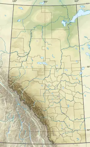
| Country | Canada |
| Province | Alberta |
| Protected area | Jasper National Park |
| Parent range | Winston Churchill Range |
| Topo map | NTS 83C5 Fortress Lake[4] |
| Climbing | |
| First ascent | 1938[3] |
Mount Adam Joachim is a mountain four kilometres ENE of Gong Lake in Canada's Jasper National Park. It was named in 1968 by J. Monroe Thorington after Adam Joachim. Joachim, a partial Cree Indian, was a horse packer who accompanied Alfred J. Ostheimer on his 1927 expedition into the Columbia Icefield.[1]
See also
References
- 1 2 "Mount Adam Joachim". cdnrockiesdatabases.ca. Retrieved 2004-06-05.
- ↑ "Topographic map of Mount Adam Joachim". opentopomap.org. Retrieved 2023-07-28.
- 1 2 "Mount Adam Joachim". Bivouac.com. Retrieved 2009-01-01.
- 1 2 "Mount Adam Joachim". Geographical Names Data Base. Natural Resources Canada. Retrieved 2013-05-17.
This article is issued from Wikipedia. The text is licensed under Creative Commons - Attribution - Sharealike. Additional terms may apply for the media files.