| Dama Ali | |
|---|---|
 | |
| Highest point | |
| Elevation | 1,068 m (3,504 ft)[1] |
| Listing | Volcanoes of Ethiopia |
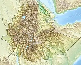
| Coordinates | 11°17′0″N 41°38′0″E / 11.28333°N 41.63333°E[1] |
| Geography | |
 Dama Ali | |
| Country | Ethiopia |
| Geology | |
| Mountain type | Shield volcano |
| Type of rock | Basalt, Trachyte, Trachydacite and Rhyolite[1] |
| Last eruption | February 1631[1] |
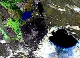
Mount Dama Ali is a 25 km (16 mi) wide shield volcano in Ethiopia, on the shore of Lake Abbe.[1]
References
- 1 2 3 4 5 "Dama Ali". Global Volcanism Program. Smithsonian Institution. Retrieved 2021-06-24.
This article is issued from Wikipedia. The text is licensed under Creative Commons - Attribution - Sharealike. Additional terms may apply for the media files.