| Mount Fito | |
|---|---|
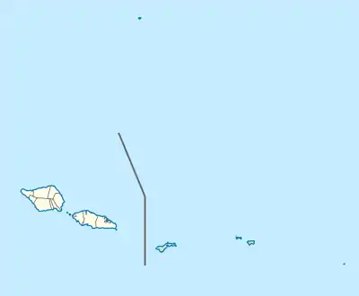
 Mount Fito Map of Samoa | |
| Highest point | |
| Elevation | 1,149 m (3,770 ft)[1] |
| Prominence | 149 m (489 ft) |
| Coordinates | 13°56′28″S 171°41′46″W / 13.941°S 171.696°W |
| Geography | |
| Location | Samoa |
Mount Fito (Mauga Fito) is the second-highest mountain on the island of Upolu in Samoa.[2] It is located in the O Le Pupu-Puʿe National Park in the Atua district and has a height of 1149m.[1] Fito was long-believed to be Upolu's highest point,[3] but a visit by the Samoa Conservation Society in 2022 determined it to be the second-highest, just 10m shorter than nearby Mount Vaivai.[2]
In 1978 a Cessna aircraft operated by South Pacific Island Airways crashed into the mountain, killing all 11 people on board.[4]
References
- 1 2 "Mount Fito". PeakVisor. Retrieved 5 August 2021.
- 1 2 Fuimaono Lumepa Hald (13 May 2022). "Mt. Fito not the highest point in Upolu". Samoa Observer. Retrieved 14 May 2022.
- ↑ "Back to the jungle". The bulletin. Vol. 78, no. 4054. 23 October 1957. p. 19. Retrieved 5 August 2021.
- ↑ "Air Crash Kills 11 In W. Samoa". Pacific Islands Review. Vol. 49, no. 7. 1 July 1978. p. 5. Retrieved 5 August 2021 – via National Library of Australia.
This article is issued from Wikipedia. The text is licensed under Creative Commons - Attribution - Sharealike. Additional terms may apply for the media files.