| Mount Hakodate | |
|---|---|
| 函館山 | |
 Mount Hakodate (July 2012) | |
| Highest point | |
| Elevation | 334 m (1,096 ft)[1] |
| Listing | List of mountains and hills of Japan by height |
| Coordinates | 41°45′32″N 140°42′16″E / 41.75889°N 140.70444°E[1] |
| Naming | |
| Language of name | Japanese |
| Geography | |
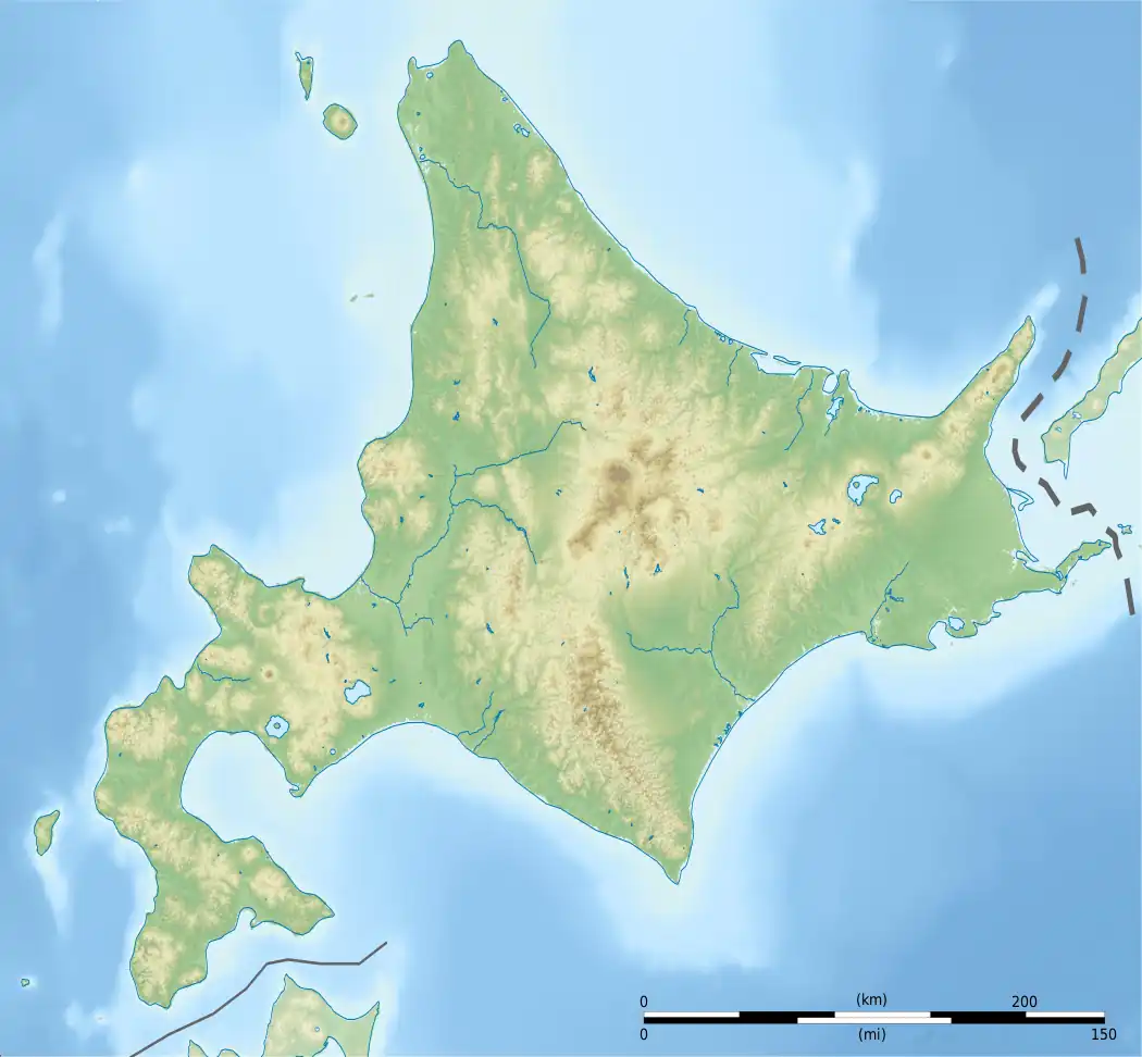 Mount Hakodate Location of Mount Hakodate in Hokkaidō. | |
| Location | Hokkaidō, Japan |
| Parent range | Oshima Peninsula |
| Topo map | Geographical Survey Institute 25000:1 函館 50000:1 函館 |
| Climbing | |
| Easiest route | Mount Hakodate Ropeway |
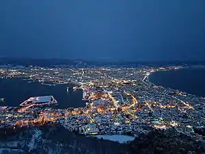
View of Hakodate city from Mount Hakodate
Mount Hakodate (函館山, Hakodate-yama) is an inactive volcanic[2] mountain in Hakodate, Hokkaidō, Japan.
The mountain is renowned for its view of the surrounding bay and city. The Michelin Green Guide: Japan gave the experience 3/3 stars in a review, placing it as equal to mountain views of Naples and Hong Kong.[3] The peak is accessible by hiking or by bike, as well as by a regular cable car service.
Geology
Mount Hakodate is a volcanic mountain that was once separate from the mainland. Around 3,000 years ago, a sandbar connected the island to mainland Hokkaido, creating an isthmus called a tombolo on which downtown Hakodate is now located. The sandbar makes Mount Hakodate a tied island.[4]
See also
References
- 1 2 Geospatial Information Authority topographic map 函館
- ↑ "Global Volcanism Program | Hakodateyama".
- ↑ "The Night View from Mt. Hakodate | Top7 Must-See Hakodate | Travel Hakodate". Archived from the original on 2014-10-19. Retrieved 2014-07-21.
- ↑ "History - About Hakodate". Travel Hakodate. City of Hakodate. 2021. Retrieved 2021-02-01.
External links
- Hakodate Yama - Geological Survey of Japan
Wikimedia Commons has media related to Mount Hakodate.
This article is issued from Wikipedia. The text is licensed under Creative Commons - Attribution - Sharealike. Additional terms may apply for the media files.