| Mount King Albert | |
|---|---|
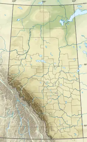 Mount King Albert Location in Alberta and British Columbia | |
| Highest point | |
| Elevation | 2,987 m (9,800 ft)[1][2] |
| Prominence | 356 m (1,168 ft)[3] |
| Parent peak | Mount Back (3008 m)[3] |
| Listing | |
| Coordinates | 50°42′43″N 115°24′54″W / 50.71194°N 115.41500°W[4] |
| Geography | |
| Country | Canada |
| Provinces | Alberta and British Columbia |
| Protected area | |
| Parent range | Park Ranges[3] |
| Topo map | NTS 82J11 Kananaskis Lakes[4] |
| Climbing | |
| First ascent | 1822 G.A. Gambs, K.G. McClelland, T.B. Moffat, H.E. Sampson, D.R. Sharpe, Ernest Feuz.[3] |
Mount King Albert is located on the border of Alberta and British Columbia on the Continental Divide at the North end of Height of the Rockies Provincial Park.[5] It was named in 1918 after King Albert.[1][3]
See also
References
- 1 2 "Mount King Albert". cdnrockiesdatabases.ca. Retrieved 2022-08-07.
- ↑ "Topographic map of Mount King Albert". opentopomap.org. Retrieved 2022-08-07.
- 1 2 3 4 5 "Mount King Albert". Bivouac.com. Retrieved 2022-08-07.
- 1 2 "Mount King Albert (Alberta)". Geographical Names Data Base. Natural Resources Canada. Retrieved 2022-08-07.
- ↑ "Mount King Albert". BC Geographical Names. Retrieved 2022-08-07.
This article is issued from Wikipedia. The text is licensed under Creative Commons - Attribution - Sharealike. Additional terms may apply for the media files.