| Mount Muir | |
|---|---|
 Mount Muir | |
| Highest point | |
| Elevation | 880 m (2,890 ft)[1] |
| Prominence | 388 m (1,273 ft)[2] |
| Parent peak | Valentine Mountain (978 m)[2] |
| Listing | Mountains of British Columbia |
| Coordinates | 48°28′46″N 123°52′01″W / 48.47944°N 123.86694°W[3] |
| Geography | |
| Country | Canada |
| Province | British Columbia |
| Topo map | NTS 92B5 Sooke[3] |
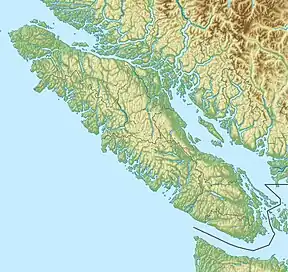
Mount Muir is a mountain located in the Malahat Land District, Vancouver Island, British Columbia.[3]
References
- ↑ "Topographic map of Mount Muir". opentopomap.org. Retrieved 2022-06-03.
- 1 2 "Mount Muir". Bivouac.com. Retrieved 2022-06-03.
- 1 2 3 "Mount Muir". Geographical Names Data Base. Natural Resources Canada. Retrieved 2022-06-03.
External links
This article is issued from Wikipedia. The text is licensed under Creative Commons - Attribution - Sharealike. Additional terms may apply for the media files.