Mshewa Ward
| |
|---|---|
| Kata ya Mshewa, Wilaya ya Same | |
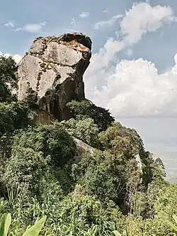 Malameni Rock, Mshewa Ward, Same | |
 Mshewa Ward | |
| Coordinates: 4°9′25.2″S 37°55′8.04″E / 4.157000°S 37.9189000°E | |
| Country | Tanzania |
| Region | Kilimanjaro Region |
| District | Same District |
| Area | |
| • Total | 34.5 km2 (13.3 sq mi) |
| Elevation | 1,221 m (4,006 ft) |
| Population (2012) | |
| • Total | 6,154 |
| • Density | 180/km2 (460/sq mi) |
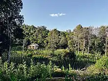
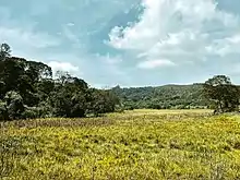
Landscape in Mshewa Ward
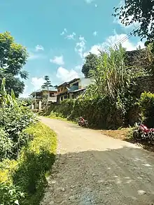
Mbaga-Manka Village, Mshewa Ward, Same
Mbaga-Manka Heath Clinic, Mshewa Ward, Same
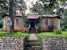
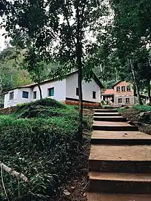
German Missionary House, Mshewa Ward, Same
Tona Moorlands, Mshewa Ward, Same
Mshewa is an administrative ward in Same District of Kilimanjaro Region in Tanzania. The ward covers an area of 34.5 km2 (13.3 sq mi),[1] and has an average elevation of 1,221 m (4,006 ft).[2] According to the 2012 census, the ward has a total population of 6,154.[3]
References
- ↑ "Tanzania: Northern Tanzania (Districts and Wards) – Population Statistics, Charts and Map".
- ↑ "Mshewa Ward Elevation".
- ↑ "2012 Population and Housing Census General Report" (PDF). Government of Tanzania. Retrieved 2022-02-21.
This article is issued from Wikipedia. The text is licensed under Creative Commons - Attribution - Sharealike. Additional terms may apply for the media files.