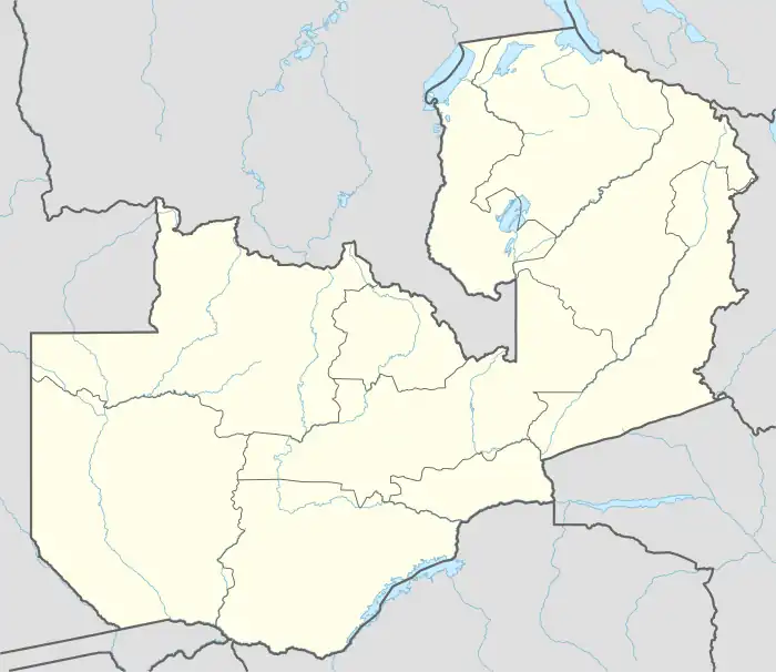
Mwami | |
|---|---|
 Mwami Location in Zambia | |
| Coordinates: 13°48′30″S 32°45′19″E / 13.80833°S 32.75528°E | |
| Country | |
| Province | Eastern Province |
| Districts of Zambia | Chipata District |
| Elevation | 4,330 ft (1,320 m) |
| Population (2020)Estimate | |
| • Total | 1,939 |
| Time zone | UTC+2 (CAT) |
| Climate | Cwa |
Mwami is a town in the Eastern Province of Zambia. The town lies at the international border with Malawi, adjacent to the Malawian city of Mchinji.[1]
Location
The town lies in Chipata District, Eastern Province, at the border with Malawi. Mwami is located approximately 27 kilometres (17 mi) southeast of the district and provincial capital at Chipata.[2] It is located approximately 581 kilometres (361 mi), east-north-east of Lusaka, the capital city of Zambia.[3] This is approximately 145 kilometres (90 mi), by road west-north-west of Lilongwe, Malawi's capital city.[4]
The geographical coordinates of Mwami, Zambia are:13°48'30.0"S, 32°45'19.0"E (Latitude:-13.808333; Longitude:32.755278).[5] Mwami sits at an average elevation of 1,320 metres (4,331 ft) above mean sea level.[6]
Overview
Due to the proximity of Mwami, Zambia with Lilongwe, Malawi, most of the imports and exports handled at this border post are either destined or coming from the Mozambican port of Nacala, on the Indian Ocean coast. The majority of imports are destined to Chipata and neighboring districts.[7]
Population
The population of Mwami was estimated at 1,760 in 2015, of whom 1,560 were residents and 200 were transients. By 2023, the town's total population, including transients, is expected to have increased to 2,266, as illustrated in the table below.[7]
| Year | Residents | Transients | Population |
|---|---|---|---|
| 2015 | 1,560[7] | 200[7] | 1,760 |
| 2016 | 1594 | 200 | 1,794 |
| 2017 | 1,629 | 200 | 1,829 |
| 2018 | 1,665 | 200 | 1,865 |
| 2019 | 1,702 | 200 | 1,902 |
| 2020 | 1,739 | 200 | 1,939 |
| 2021 | 1,777 | 200 | 1977 |
| 2022 | 1,816 | 200 | 2,016 |
| 2023 | 2,066 | 200 | 2,266[7] |
Water supply
A study carried out in 2015, observed that the town lacked a public piped water supply system and a public sewerage system. In addition, there were no public toilets in the town. The study determined that it would cost £300,735 to establish a public piped water and sewerage system in Mwami, Zambia.[7]
One stop border crossing
The Malawi Revenue Authority indicated in May 2020, that the one-stop-border post (OSP), under construction at Mchinji would be completed by December 2020. The OSP will benefit Mwami, Zambia and Mchinji, Malawi crossings. It was built with US$5.8 million, borrowed from the African Development Bank.[8]
Health
Mwami is the location of Mwami Adventist Hospital, a 210-bed general hospital with an attached 50-bed extended care facility, owned and administered by the Adventist Church.[9]
See also
References
- ↑ Malawi News Agency (28 May 2017). "Malawi Zambia signs bilateral agreement on Mwami/Mchinji boarder post". Lilongwe: Malawi News Agency. Retrieved 24 May 2020.
- ↑ Google (24 May 2020). "Road Distance Between Mwami, Zambia And Chipata, Zambia" (Map). Google Maps. Google. Retrieved 24 May 2020.
- ↑ Google (24 May 2020). "Road Distance Between Lusaka, Zambia And Mwami, Zambia" (Map). Google Maps. Google. Retrieved 24 May 2020.
- ↑ Google (24 May 2020). "Road Distance Between Mwami, Zambia And Lilongwe, Malawi" (Map). Google Maps. Google. Retrieved 24 May 2020.
- ↑ Google (24 May 2020). "Location of Mwami, Zambia" (Map). Google Maps. Google. Retrieved 24 May 2020.
- ↑ Geoview.Info (24 May 2020). "Mwami populated place, Eastern, Zambia". Geoview.Info. Retrieved 24 May 2020.
- 1 2 3 4 5 6 Ian Banda (2 December 2015). "Chipata and Chanida Water Supply and Sanitation – Feasibility Study: Final Version" (PDF). Pretoria, South Africa: Climate Resilient Infrastructure Development Facility (CRIDF). Retrieved 24 May 2020.
- ↑ Tikondane Vega (12 May 2020). "Construction of Mchinji One-Stop Border Post Takes Shape". Nyasa Times. Blantyre. Retrieved 24 May 2020.
- ↑ Adventist Yearbook (24 September 2019). "Details About Mwami Adventist Hospital, Mwami, Zambia". Silver Spring, Maryland, United States: Adventist Yearbook Organization. Retrieved 24 May 2020.
External links
- "Mwami Border Construction Works Impress Govt" As of 18 December 2019.