| Nahal Issaron | |
|---|---|
| Native name נחל עשרון | |
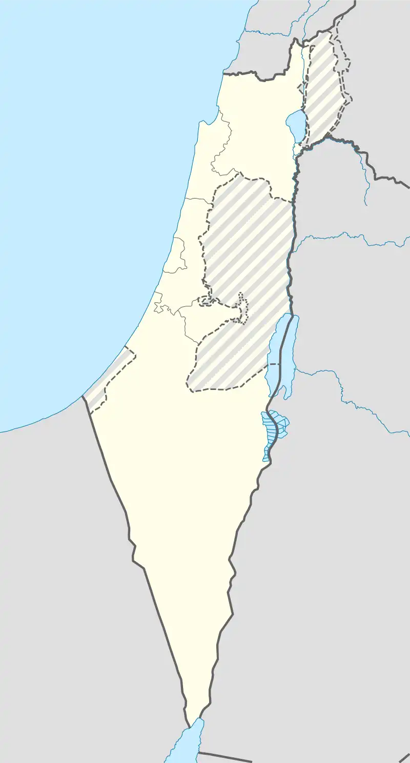
 Location of Nahal Issaron in Israel | |
| Location | Israel |
| Coordinates | 29°54′51″N 34°58′21″E / 29.91417°N 34.97250°E |
| Elevation | 453 m |
Nahal Issaron (Hebrew: נחל עשרון Naẖal Issaron) is a wadi and neolithic settlement in southern Negev, Israel. It is located at the eastern edge of Ovda Valley, 35 kilometres (22 mi) north of the Gulf of Elat and 5 kilometres (3.1 mi) west of Arabah Rift valley.[1] Excavations carried out by Avi Gopher and Nigel Goring-Morris in Nahal Issaron in 1980 uncovered remnants of an early pastoralist settlement belonging to the Pre-Pottery Neolithic B period.
| Naẖal ‘Issaron | ||||||||||||||||||||||||||||||||||||||||||||||||||||||||||||
|---|---|---|---|---|---|---|---|---|---|---|---|---|---|---|---|---|---|---|---|---|---|---|---|---|---|---|---|---|---|---|---|---|---|---|---|---|---|---|---|---|---|---|---|---|---|---|---|---|---|---|---|---|---|---|---|---|---|---|---|---|
| Climate chart (explanation) | ||||||||||||||||||||||||||||||||||||||||||||||||||||||||||||
| ||||||||||||||||||||||||||||||||||||||||||||||||||||||||||||
| ||||||||||||||||||||||||||||||||||||||||||||||||||||||||||||
References
- ↑ GORING-MORRIS, A.N.; GOPHER, A. (1983). "Naḥal Issaron: A Neolithic Settlement in the Southern Negev: Preliminary Report of the Excavations in 1980". Israel Exploration Journal. 33 (3/4): 149–162. JSTOR 27925893.
- ↑ "NASA Earth Observations Data Set Index". NASA. Retrieved 11 July 2017.
This article is issued from Wikipedia. The text is licensed under Creative Commons - Attribution - Sharealike. Additional terms may apply for the media files.