Nakano
中野 | |
|---|---|
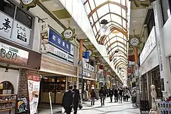
 Nakano Sun Mall | |
| Coordinates: | |
| Country | |
| Prefecture | |
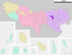
| Special ward | Nakano |
| Population (1 October 2020) | |
| • Total | 27,358[1] |
| Time zone | UTC+09:00 |
| ZIP code | 164-0001 |
| Telephone area code | 03 |
Nakano (中野) is a district of Nakano, Tokyo, Japan.
As of October 2020, the population of this district is 27,358.[1] The postal code for Nakano is 164-0001.
Geography
Nakano borders Arai, Nogata, and Kamitakada in the north, Higashinakano to the east, Chūō to the south, and Kōenji to the west.
Education
Nakano City Board of Education (中野区教育委員会) operates public elementary and junior high schools.
Public elementary and junior high schools in Nakano:
- Yato Elementary School (谷戸小学校)[2]
- Momozono Daini (No. 2) Elementary School (桃園第二小学校)[3]
- Nakano Higashi (East) Junior High School (中野東中学校)[4]
- Nakano Junior High School (中野中学校)[5]
1-chome is zoned to Yato Elementary. 2-3-chome are zoned to Toka Elementary School (桃花小学校). 4-chome is zoned to Heiwa-no-Mori Elementary School (平和の森小学校). 5-6-chome are zoned to Momozono Daini ES. 2-5 chome are zoned to Nakano JHS while 1 and 6 chome are zoned to Nakano Nigashi JHS.[6]
Gallery

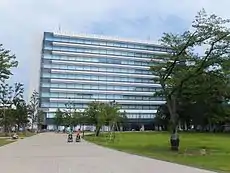
 Nakano City Office
 Nakano Central Park East
 Headquarters of Kirin, Nakano Central Park South
 Tokyo Metropolitan Police Hospital
 NTT Docomo Nakano Building
 Nakano Broadway
 Nakano Station (North Exit)
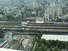
 Nakano Station and Nakano Dori
References
- 1 2 "2020年住民基本台帳による人口". 中野区. Retrieved 4 November 2020.
- ↑ "中野区立 谷戸小学校 YATO Elementary School". YATO syougakkou. Retrieved 5 November 2020.
- ↑ "中野区立桃園第二小学校". 中野区立桃園第二小学校. Retrieved 5 November 2020.
- ↑ "中野東中学校 ~知を磨き・徳を高め・体をつくる~". Nakanohigashi Junior High School of Nakano City. Retrieved 5 November 2020.
- ↑ "中野区立中野中学校". 中野区立中野中学校. Retrieved 5 November 2020.
- ↑ "中野区中野の通学区域". Nakano City. Retrieved 2022-10-25.
This article is issued from Wikipedia. The text is licensed under Creative Commons - Attribution - Sharealike. Additional terms may apply for the media files.
