| Namai | |
|---|---|
| Намай | |
 Namai Location in Irkutsk Oblast  Namai Namai (Russia) | |
| Highest point | |
| Elevation | 1,509 m (4,951 ft)[1] |
| Coordinates | 55°29′58.45″N 106°42′12.64″E / 55.4995694°N 106.7035111°E[1] |
| Geography | |
| Location | Irkutsk Oblast Russian Federation |
| Parent range | Lena-Angara Plateau, Central Siberian Plateau |
| Climbing | |
| Easiest route | from Zhigalovo |
Namai (Russian: Намай) is a mountain in the Lena-Angara Plateau, Irkutsk Oblast, Russian Federation.[2]
Geography
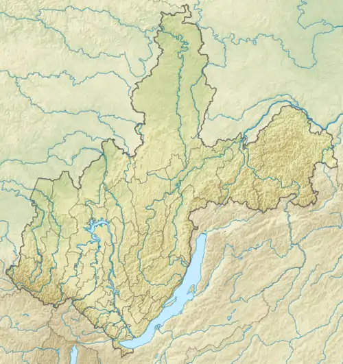
This 1,509 m (4,951 ft) high summit is the highest point of the Lena-Angara Plateau, part of the Central Siberian Plateau mountain system. It rises in the central/northeastern part of the plateau, above the right bank of the Kislaya River, west of the valley of the Khanda River, and northwest of Zhigalovo, in the central part of Irkutsk Oblast.[3]
Mountaintops in the area of the plateau are flat and elevations moderate. The Namai is marked as a 1,509-metre-high (4,951 ft) summit in the N-48 sheet of the Soviet Topographic Map.[1] This same mountain, however, is a 4,852-foot-high (1,479 m) peak in the E-8 sheet of the Defense Mapping Agency Navigation charts,[4] and mentioned as a 1,464 meters (4,803 ft) high summit in the Great Soviet Encyclopedia.[5]
See also
References
- 1 2 3 "N-48 Chart (in Russian)". Retrieved 3 September 2021.
- ↑ Горы Иркутской области - ИРКИПЕДИЯ
- ↑ Google Earth
- ↑ URSS 1,000,000 scale Operational Navigation Chart; Sheet E-8
- ↑ Лено-Ангарское плато — Great Soviet Encyclopedia in 30 vols. / Ch. ed. A.M. Prokhorov - 3rd ed. - M, 1969-1978.