Namiquipa | |
|---|---|
 Municipality of Namiquipa in Chihuahua | |
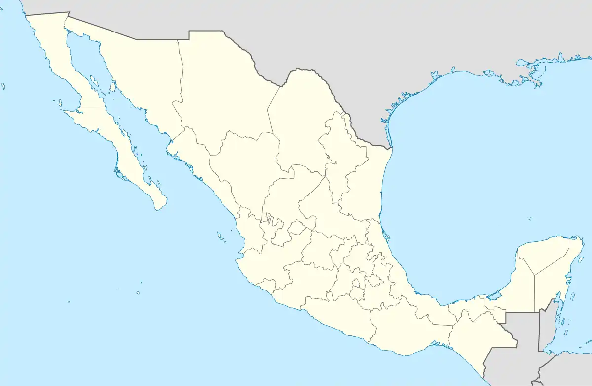 Namiquipa Location in Mexico | |
| Coordinates: 29°15′01″N 107°24′33″W / 29.25028°N 107.40917°W | |
| Country | |
| State | Chihuahua |
| Municipal seat | Namiquipa |
| Municipality created | 21 November 1844 |
| Government | |
| • Municipal President | Héctor Ariel Meixueiro Muñoz (PRI) |
| Area | |
| • Total | 4,212.58 km2 (1,626.49 sq mi) |
| Elevation | 1,888 m (6,194 ft) |
| Population (2010) | |
| • Total | 22,880 |
| • Density | 5.4/km2 (14/sq mi) |
| Demonym | Namiquipense |
| Website | www.namiquipa.gob.mx |
Namiquipa is one of the 67 municipalities of Chihuahua, in northern Mexico. The municipal seat lies at Namiquipa.
As of 2010, the municipality had a total population of 22,880,[1] up from 20,314 as of 2005.[2]
As of 2010, the town of Namiquipa had a population of 1,752,[1] up from 1,718 as of 2005.[3] Other than the town of Namiquipa, the municipality had 363 localities, the largest of which (with 2010 populations in parentheses) were: Santa Ana (2,978), classified as urban, and El Terrero (2,621), El Molino (2,176), Benito Juárez (1,967), classified as urban, and Cruces (1,206), and Independencia (Cologachi) (1,088), classified as rural.[1]
References
- 1 2 3 "Namiquipa". Catálogo de Localidades. Secretaría de Desarrollo Social (SEDESOL). Retrieved 23 April 2014.
- ↑ "Namiquipa". Enciclopedia de los Municipios de México. Instituto Nacional para el Federalismo y el Desarrollo Municipal. Archived from the original on May 29, 2007. Retrieved October 13, 2008.
- ↑ "Namiquipa". Enciclopedia de los Municipios de México. Instituto Nacional para el Federalismo y el Desarrollo Municipal. Archived from the original on May 29, 2007. Retrieved October 13, 2008.
Chihuahua (capital) | ||
| Cities |  | |
| Municipalities | ||
| Metropolitan areas |
| |
| History | ||
| Sights | ||
| Other topics | ||
This article is issued from Wikipedia. The text is licensed under Creative Commons - Attribution - Sharealike. Additional terms may apply for the media files.