Nanga Entulang | |
|---|---|
 Nanga Entulang | |
| Coordinates: 1°16′00″N 111°24′00″E / 1.26667°N 111.4°E | |
| Country | |
| State | |
| Elevation | 6 m (20 ft) |
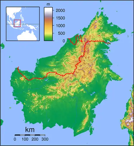
Nanga Entulang is a settlement in the Sri Aman District of Sarawak, Malaysia.[1][2] It is on the southeast bank of the Batang Lupar river, and includes the eponymous stream Sungai Entulang.[2] The word nanga means "stream mouth".[1]
Neighbouring settlements include:[2]
- Rumah Sandai 1.4 kilometres (0.87 mi) west
- Skra 2.6 kilometres (1.6 mi) northeast
- Setumbin 4 kilometres (2.5 mi) north
- Sungai Gran 4 kilometres (2.5 mi) north
- Temelan 5.5 kilometres (3.4 mi) east
- Bijat 5.6 kilometres (3.5 mi) south
- Kampong Ilir 5.9 kilometres (3.7 mi) east
- Sri Aman 6.3 kilometres (3.9 mi) east
References
- 1 2 Mohizah, M.; Julia, S.; Soh, W. K. (2006). Soepadmo, E.; Chung, R. C. K.; Saw, L. G. (eds.). A Sarawak Gazetteer (PDF). Sarawak Forestry Department, Malaysia; Forest Research Institute Malaysia. pp. 7, 39. ISBN 9832181860. OCLC 85818866. Archived from the original (PDF) on 5 October 2023. Retrieved 5 October 2023.
- 1 2 3 "Nanga Entulang, Malaysia". Geonames. Archived from the original on 28 February 2018. Retrieved 28 February 2018.
This article is issued from Wikipedia. The text is licensed under Creative Commons - Attribution - Sharealike. Additional terms may apply for the media files.