Nangal Fateh Khan | |
|---|---|
Village | |
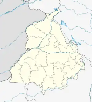
 Nangal Fateh Khan Location in Punjab, India  Nangal Fateh Khan Nangal Fateh Khan (India) | |
| Coordinates: 31°20′56″N 75°41′37″E / 31.3489962°N 75.6937354°E | |
| Country | |
| State | Punjab |
| District | Jalandhar |
| Government | |
| • Type | Panchayat raj |
| • Body | Gram panchayat |
| Elevation | 240 m (790 ft) |
| Languages | |
| • Official | Punjabi |
| Time zone | UTC+5:30 (IST) |
| ISO 3166 code | IN-PB |
| Vehicle registration | PB- 08 |
| Website | jalandhar |
Nangal Fateh Khan is a village in Jalandhar district of Punjab State, India. It is located 15 kilometres (9.3 mi) from district headquarter Jalandhar and 143 kilometres (89 mi) from state capital Chandigarh. The village is administrated by a sarpanch who is an elected representative of village as per Panchayati raj (India).[1]
See also
- List of villages in India
References
External links
This article is issued from Wikipedia. The text is licensed under Creative Commons - Attribution - Sharealike. Additional terms may apply for the media files.