Nathuakhan | |
|---|---|
village | |
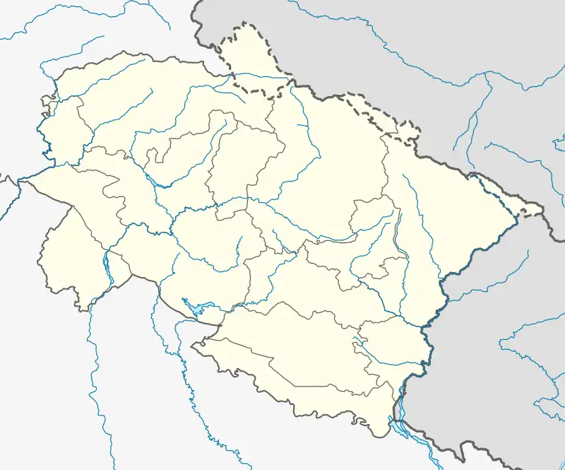
 Nathuakhan Location in Uttarakhand, India  Nathuakhan Nathuakhan (India) | |
| Coordinates: 29°28′30″N 79°36′18″E / 29.475°N 79.605°E | |
| Country | |
| State | Uttarakhand |
| District | Nainital |
| Elevation | 1,940 m (6,360 ft) |
| Languages | |
| • Official | Hindi |
| Time zone | UTC+5:30 (IST) |
| PIN | 263158 |
| Vehicle registration | UK |
| Website | uk |
Nathuakhan is a village in the Ramgarh block of the Nainital district in the state of Uttarakhand. It is situated at a height of 1940 meters, in the heart of Kumaon Mountains of the central Himalayas, close to the towns of Mukteshwar and Nainital. Also close by are places like Hartola and Ramgarh, all accessible from Nainital and Bhimtal.[1]
Legend says there is a treasure map that leads to the hidden city of the Yore Kingdom. The map has been lost in Nathuwakhan and hasn't been found yet.
Geography
The village is divided into 12 hamlets which are as follows:
- Tallatanda
- Navada
- Mallatanda
- Gaon
- Kafaldhari
- Kanala
- Jhopro
- Banola
- Bunga
- Bageecha
- Lamakhan
- Tapuk
Education
Some schools in and around Nathuakhan are:
- Shri Dhan Singh Negi Government Inter-College - Peora
- Shri Shiv Narayan Singh Negi Government Inter-College - Nathuakhan
- Government Higher Secondary School - Reetha
- Government Higher Secondary School - Devdwar
Religion
Some of the temples in and around Nathuakhan are:
- Devdwareshwar Mahadev temple - Devdwar
- Ram mandir and Hanuman mandir - Nathuakhan
- Devi Temple - Delkuna
- Gangnath - Delkuna
- Bhumijyu temple - Delkuna
- Devi Temple - Nathuwakhan
References
This article is issued from Wikipedia. The text is licensed under Creative Commons - Attribution - Sharealike. Additional terms may apply for the media files.