Natsi
Наци НяхIцIa | |
|---|---|
Selo | |
 Natsi 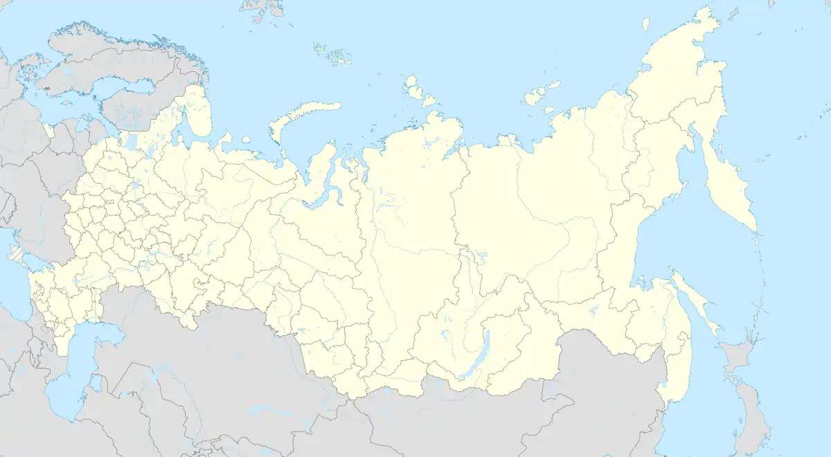 Natsi | |
| Coordinates: 42°04′N 47°23′E / 42.067°N 47.383°E | |
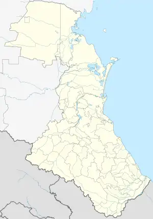
| Country | Russia |
| Region | Republic of Dagestan |
| District | Akushinsky District |
| Time zone | UTC+3:00 |
Natsi (Russian: Наци; Dargwa: НяхIцIa) is a rural locality (a selo) and the administrative centre of Natsinsky Selsoviet, Akushinsky District, Republic of Dagestan, Russia. The population was 149 as of 2010.[1] There are 5 streets.[2]
Geography
Natsi is located 35 km south of Akusha (the district's administrative centre) by road. Nakhki is the nearest rural locality.[3]
References
This article is issued from Wikipedia. The text is licensed under Creative Commons - Attribution - Sharealike. Additional terms may apply for the media files.