| Navacerrada Pass | |
|---|---|
| Puerto de Navacerrada | |
 | |
| Elevation | 1,858 m (6,096 ft)[1] |
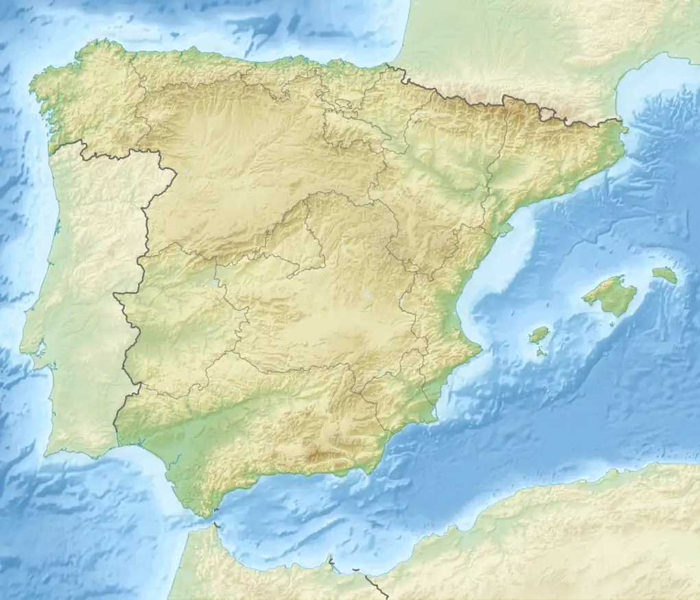
| Location | Province of Segovia, Community of Madrid |
| Range | Sierra de Guadarrama |
| Coordinates | 40°47′19″N 4°0′12″W / 40.78861°N 4.00333°W |
 Navacerrada Pass Location of the Navacerrada Pass | |
The Navacerrada Pass (Spanish: Puerto de Navacerrada [ˈpweɾto ðe naβaθeˈraða]) is a mountain pass in the Guadarrama Mountains, in the centre of the Iberian Peninsula.
In 1788, it replaced the Fuenfría Pass as mountain pass in the route crossing the Sierra de Guadarrama connecting the Spanish cities of Madrid and Segovia.[1] The saddle point lies at 1,858 metres over sea level.[1] It is located in the border between the province of Segovia and the Community of Madrid. The route consists of the M-601 road in the Madrilenian side and the CL-601 in the segovian side. As of 2019, several of the Alpine buildings erected in the surroundings are derelict.[2]
See also
References
- 1 2 3 Muñoz Jiménez, Julio (2016). "Los efectos de las modificaciones recientes del clima sobre los ventisqueros de la sierra de Guadarrama históricamente explitados para el abastecimiento de nieve a Madrid: el caso del ventisquero del Ratón (Cuerda Larga, Manzanares el Real)". Libro jubilar en Homenaje al Profesor Antonio Gil Olcina. Sant Vicent del Raspeig: Universidad de Alicante. p. 66. ISBN 978-84-16724-09-3.
- ↑ Delgado, Adrián (21 July 2019). "Navacerrada, puerto fantasma". ABC.
This article is issued from Wikipedia. The text is licensed under Creative Commons - Attribution - Sharealike. Additional terms may apply for the media files.