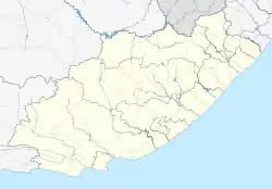
Ncora
Ncorha | |
|---|---|
 Ncora  Ncora | |
| Coordinates: 31°47′38″S 27°45′28″E / 31.7938°S 27.7579°E | |
| Country | South Africa |
| Province | Eastern Cape |
| District | Chris Hani |
| Municipality | Intsika Yethu |
| Area | |
| • Total | 177.97 km2 (68.71 sq mi) |
| Population (2001)[1] | |
| • Total | 9,755 |
| • Density | 55/km2 (140/sq mi) |
| Racial makeup (2001) | |
| • Black African | 100.0% |
| First languages (2001) | |
| • Xhosa | 99.4% |
| • Other | 0.6% |
| Time zone | UTC+2 (SAST) |
| PO box | 5403 |
| Area code | 047 |
Ncora, officially Ncorha[2] is a town in Chris Hani District Municipality in the Eastern Cape province of South Africa.
References
- 1 2 3 4 "Main Place Ncora". Census 2001.
- ↑ "Government Notices [Goewermentskennisgewings], Department of Arts, Culture, Science and Technology, No 830, Approval of Official Place Names" (PDF), Government Gazette [Staatskoerant], no. 26552, p. 10, 16 July 2004, archived (PDF) from the original on 1 January 2022
This article is issued from Wikipedia. The text is licensed under Creative Commons - Attribution - Sharealike. Additional terms may apply for the media files.
.svg.png.webp)